
Tales From the Ho Chi Minh Trail-The Mu Gia Pass
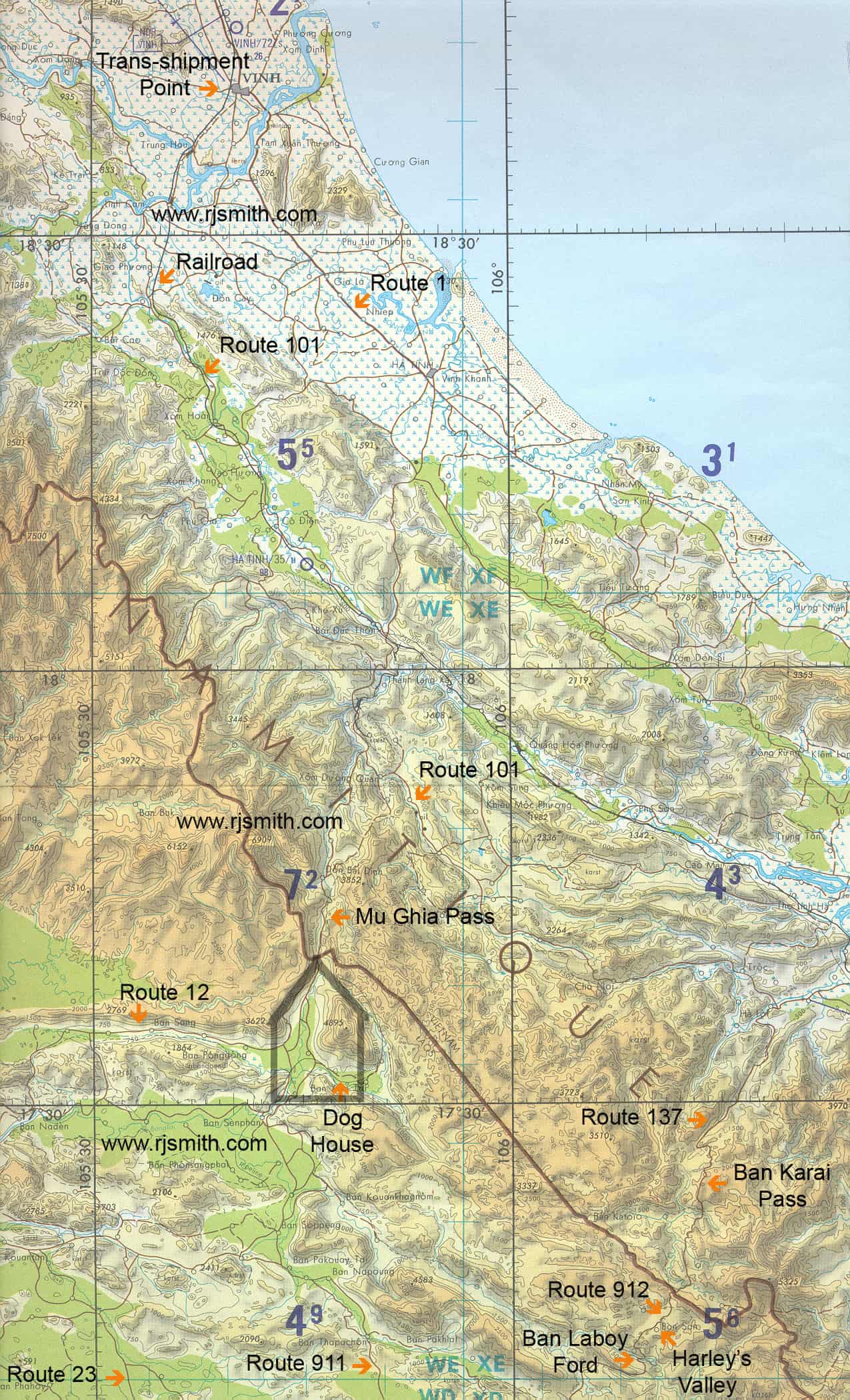
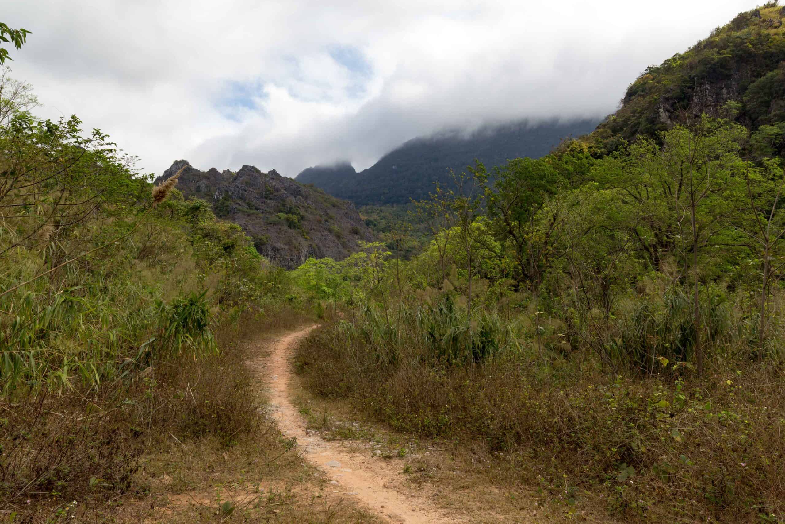
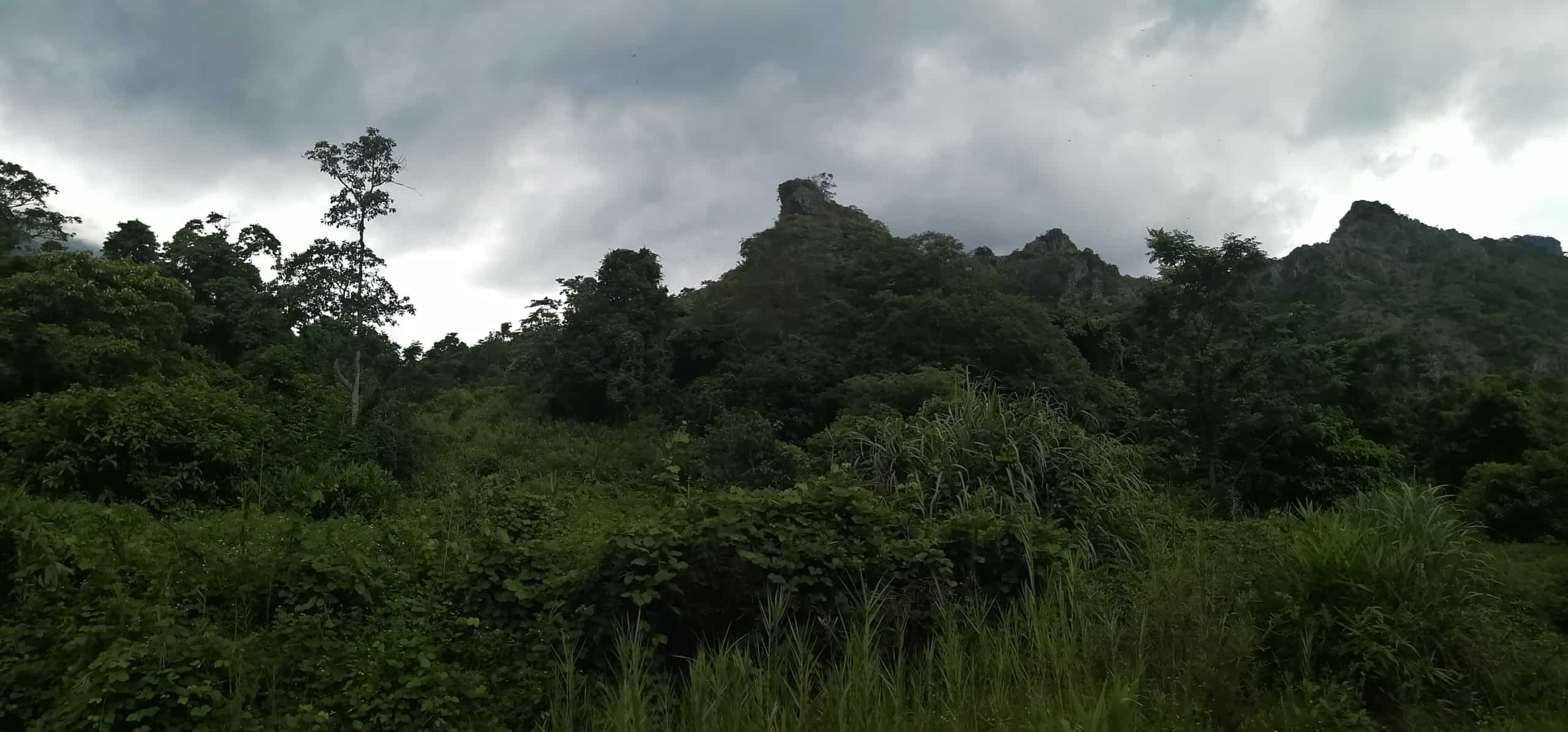
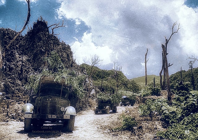
The Mụ Giạ Pass is a mountain pass in the Annamite Range between North Vietnam and Laos. It connects National Road 15 from Tân Ấp in Vietnam, to Route 12 in the Khammouane Province in Laos. Set in a huge valley, the Pass became known as the ‘bowl of fire’. Part of a network coded 559,( the 559 Regiment that built the trail) the Vietnam Peoples’ Army developed the Pass into a secret road system carrying war supplies to the south. Initially traversed by men, woman and bicycles, it grew into something much bigger, and hugely more historic. That road system became known as the Ho Chi Minh Trail, and was the gateway into Laos for the Vietnamese and their munitions.
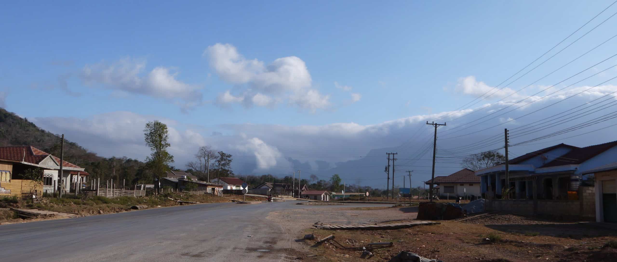
The Pass
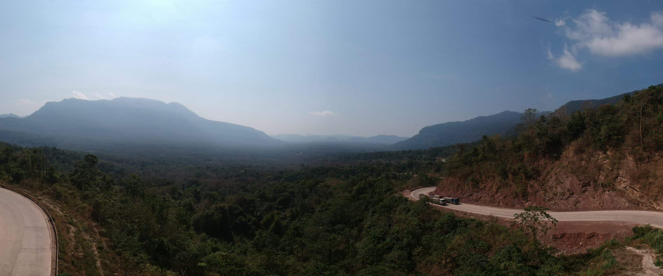
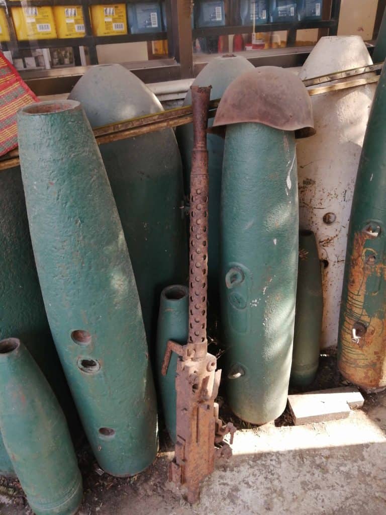
For the technically minded, this was the main entry point into the Ho Chi Min Trail. A Trail of paths measuring 16,000 km. It’s estimated that 75% of all truck traffic carrying supplies from North Vietnam destined for Vietcong Revolutionary Forces, came through this narrow valley. In time, the routes became all weather and mechanised. As the major route for all supplies, it was subject to constant bombing by American planes, craters of which can still be seen today after more than four decades.
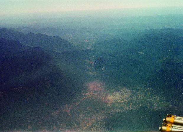
Sections of that Ho Chi Minh Trail still exist today, having been incorporated into the Ho Chi Min Highway. A Highway connecting the northern and southern regions of Vietnam. The Pass had three crucial offshoots. Two were the Nape Pass and the Ban Kari Pass. Farther south, and with north and south offshoots, was the Ban Raving Pass. All these passes were critical to getting arms and men into Laos, and eventually into southern Vietnam via Laos and Cambodia.
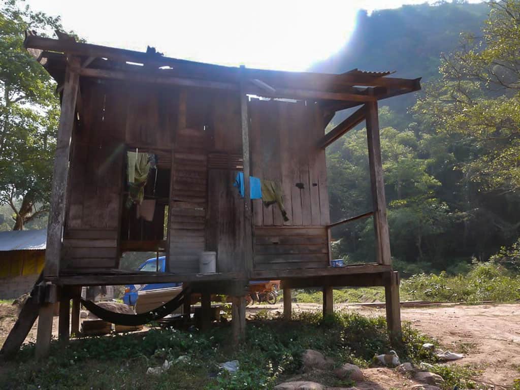
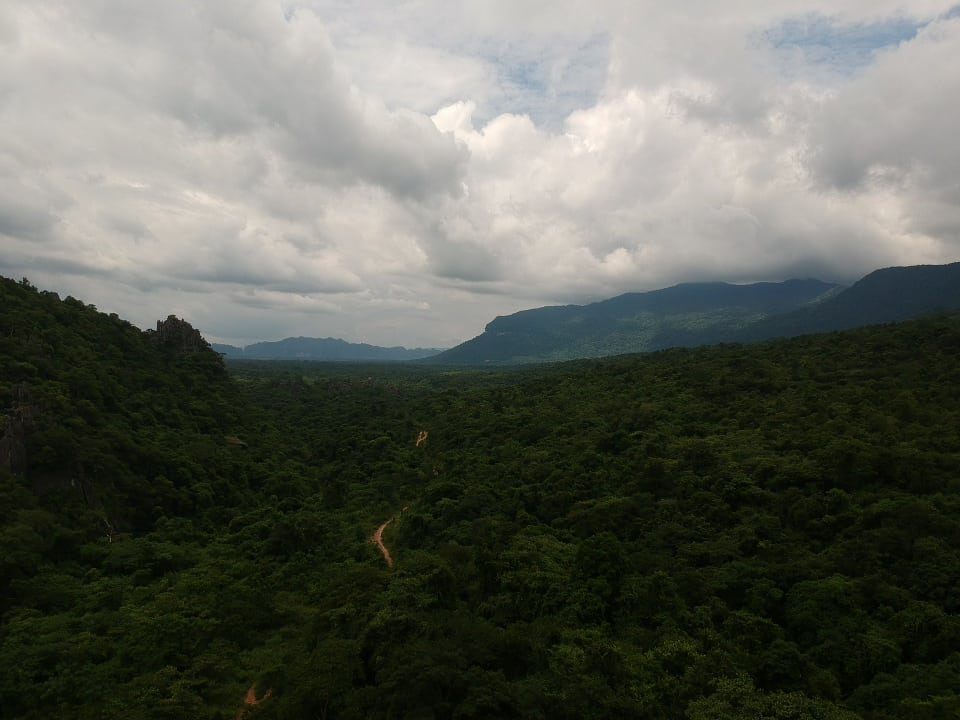
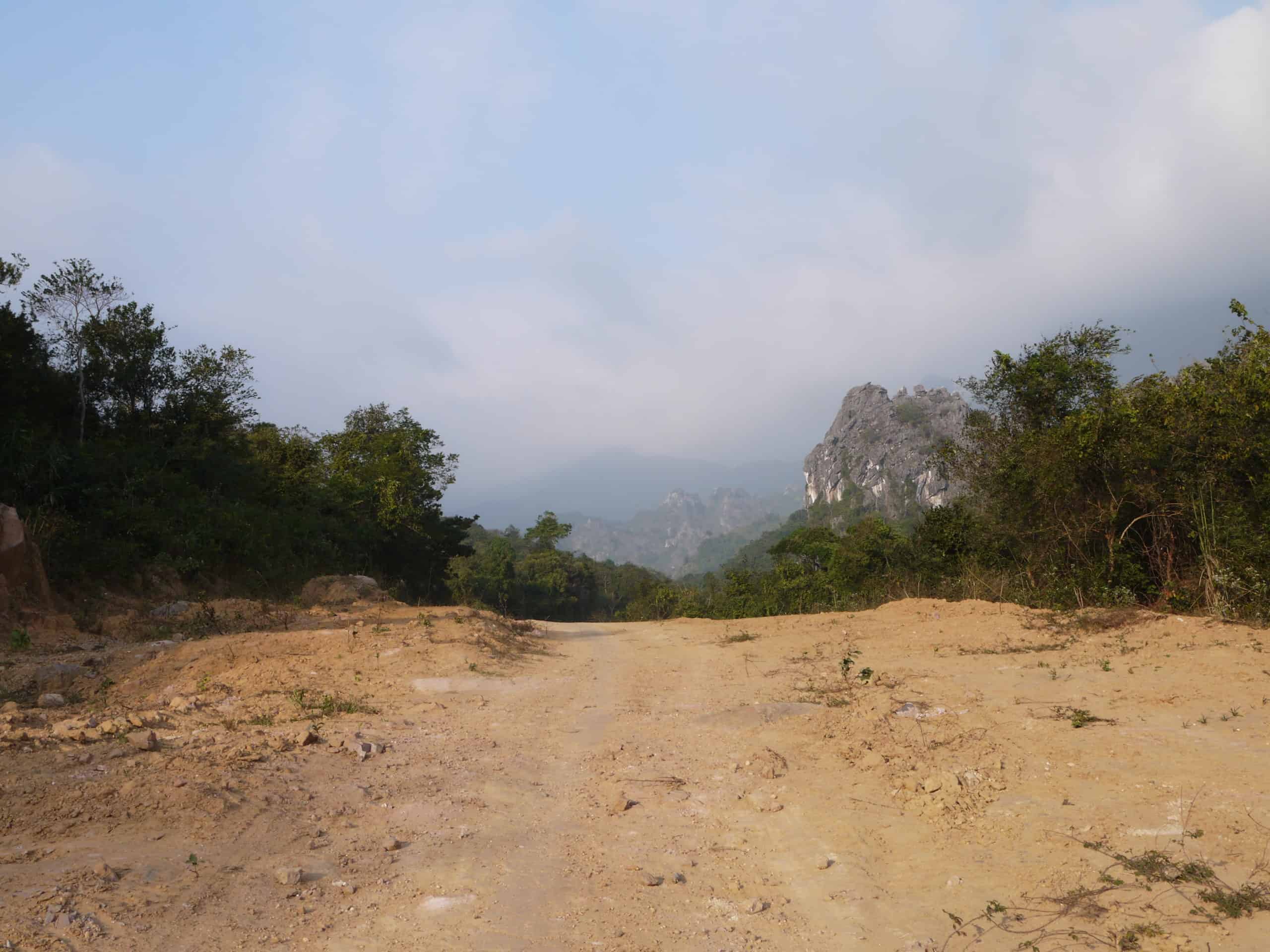
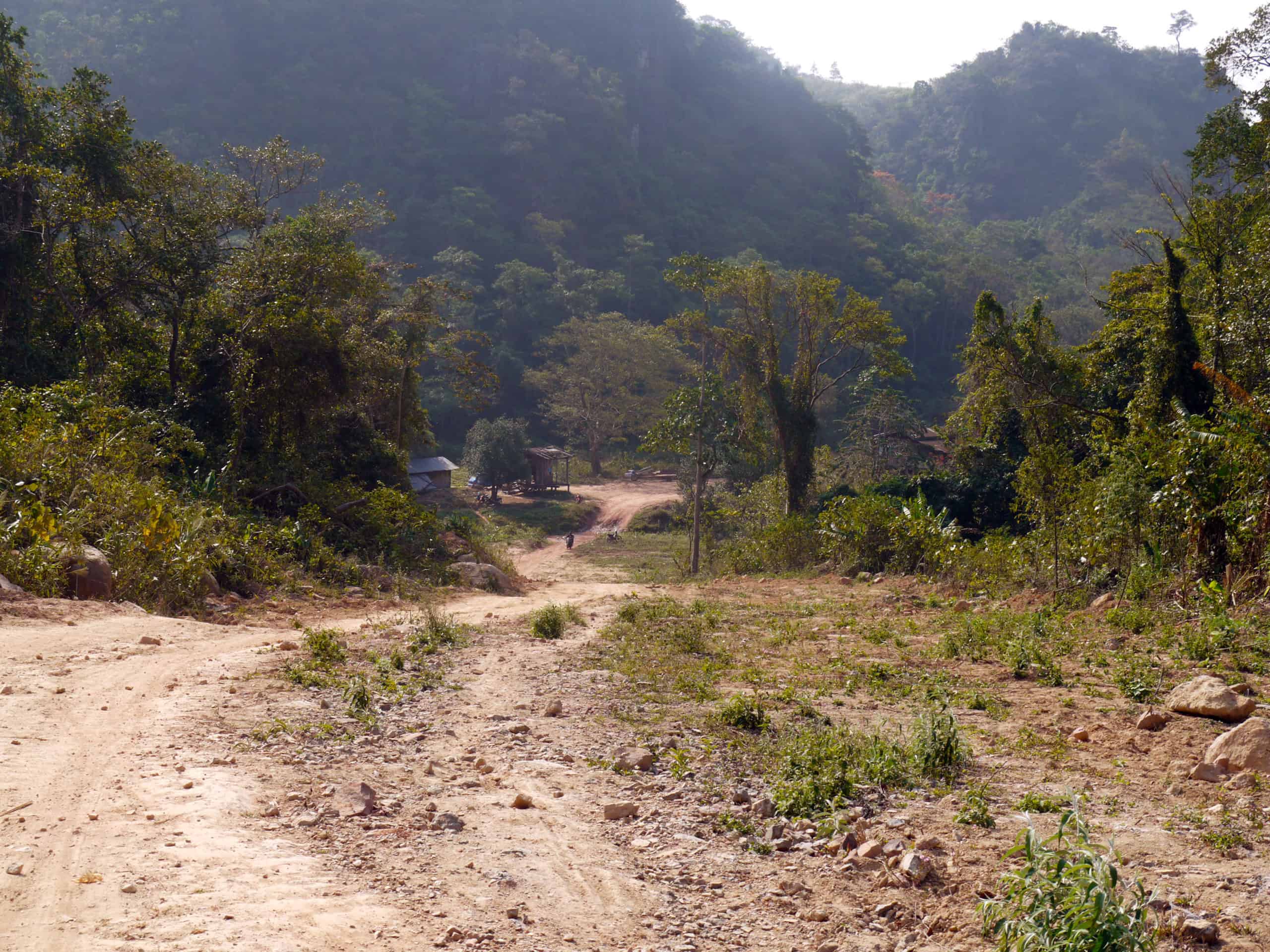
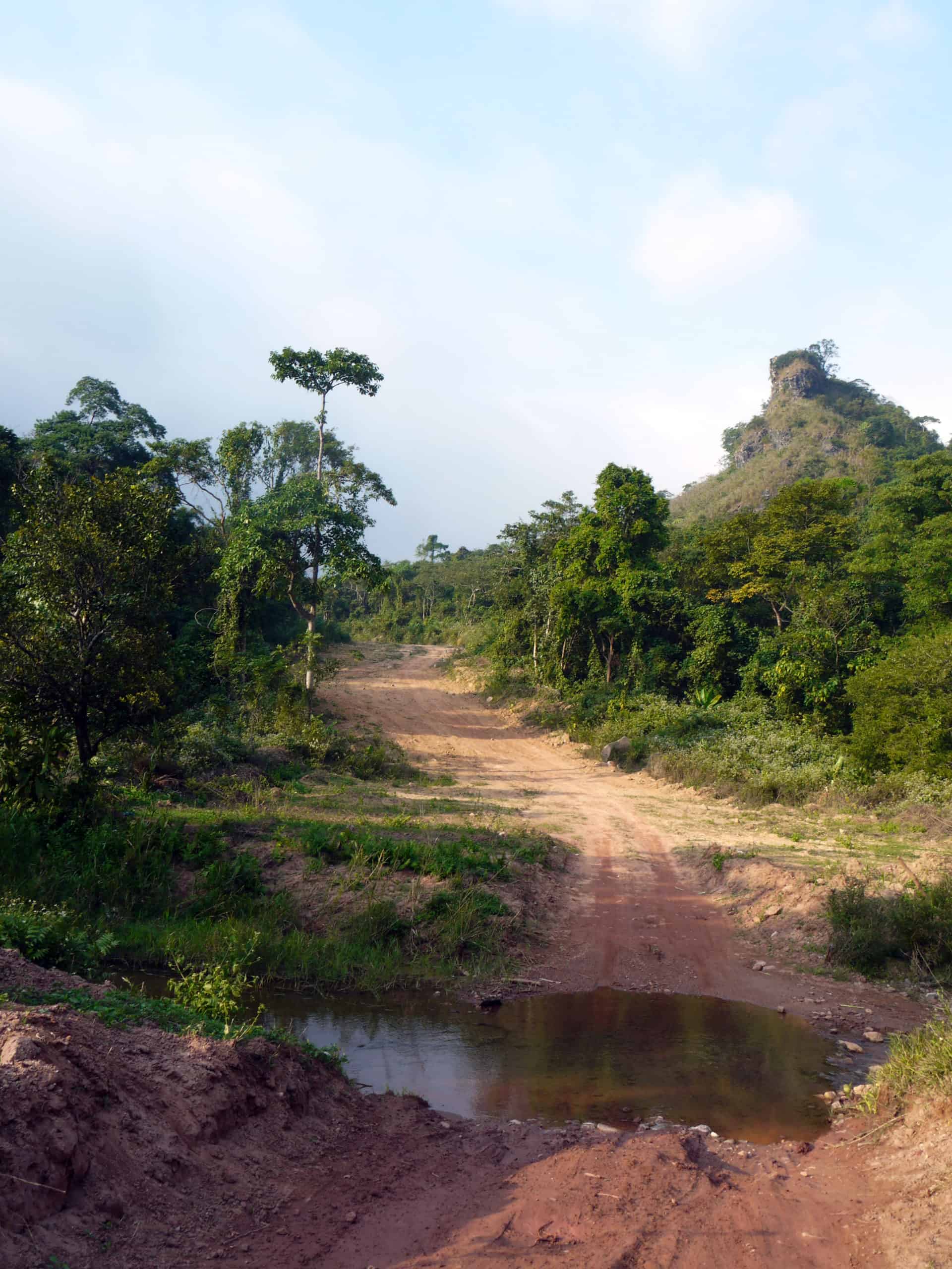
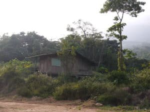
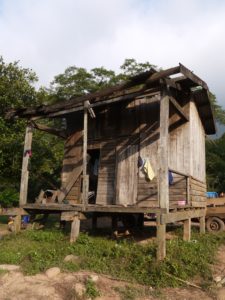
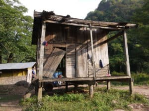
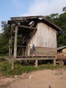
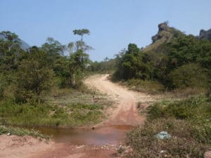
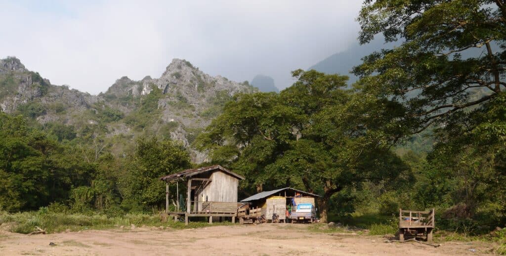
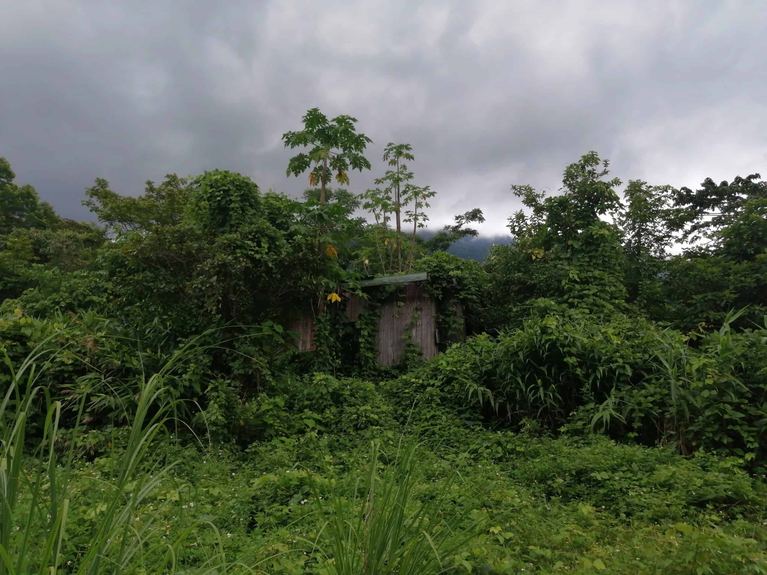
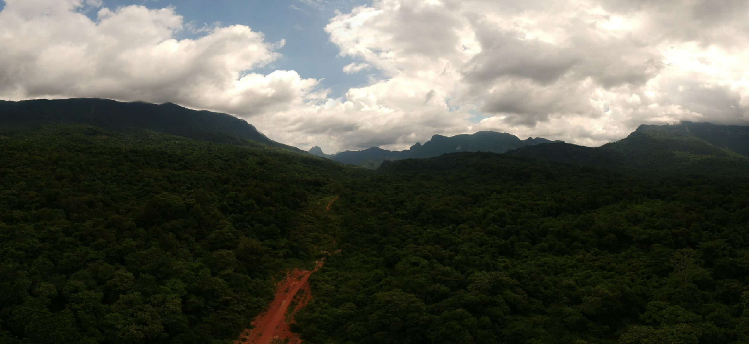
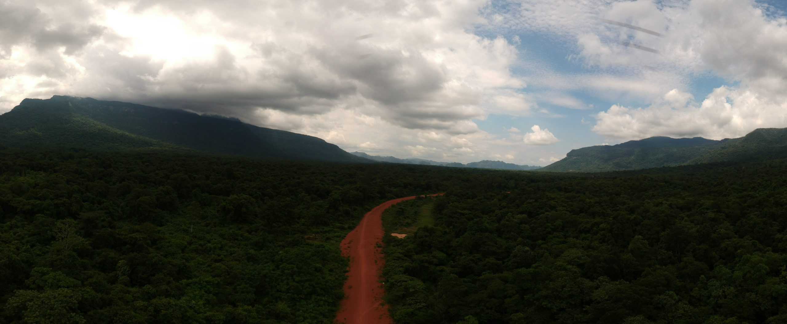
I first went to the Pass in 2010, using the sealed road that goes all the way to its summit. At that summit was an old border house, but no longer. Back in that day, there was a Trail down the mountain that ran roughly parallel with today’s sealed road. When the sealed road was built, I don’t know. In a clearing halfway down the Trail was the Customs Building, a Border Post, a house, and what looked like the Passport Office. I couldn’t get down the Trail though, as it was completely overgrown.
I have never forgotten that moment when at the top of the Pass I looked for ways down. Although obvious where the Trail had been, it was also obvious that it was absolutely impassable! I was saddened when I realised I couldn’t ride that key part of the Trail, something I had very much wanted to do.
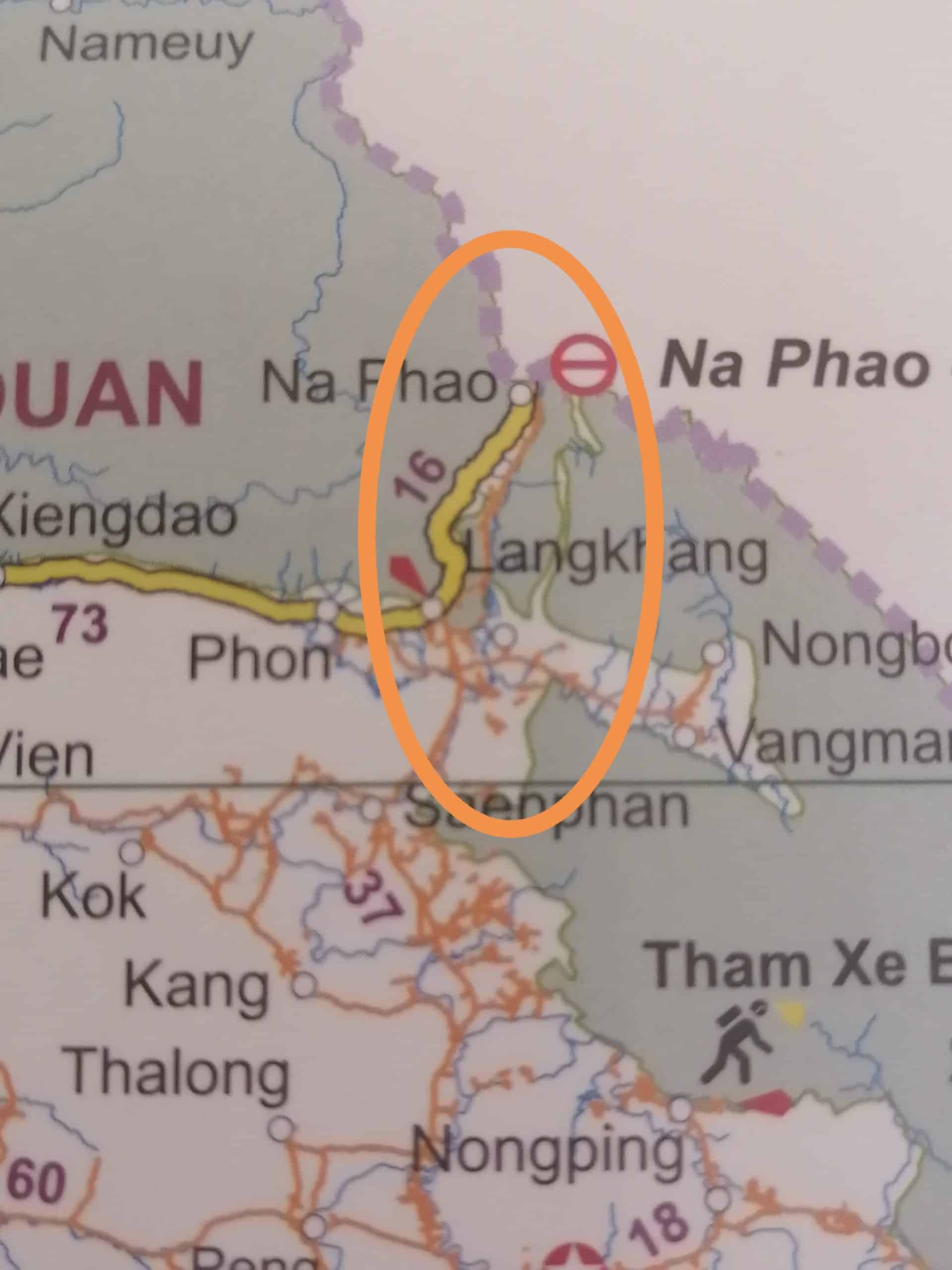
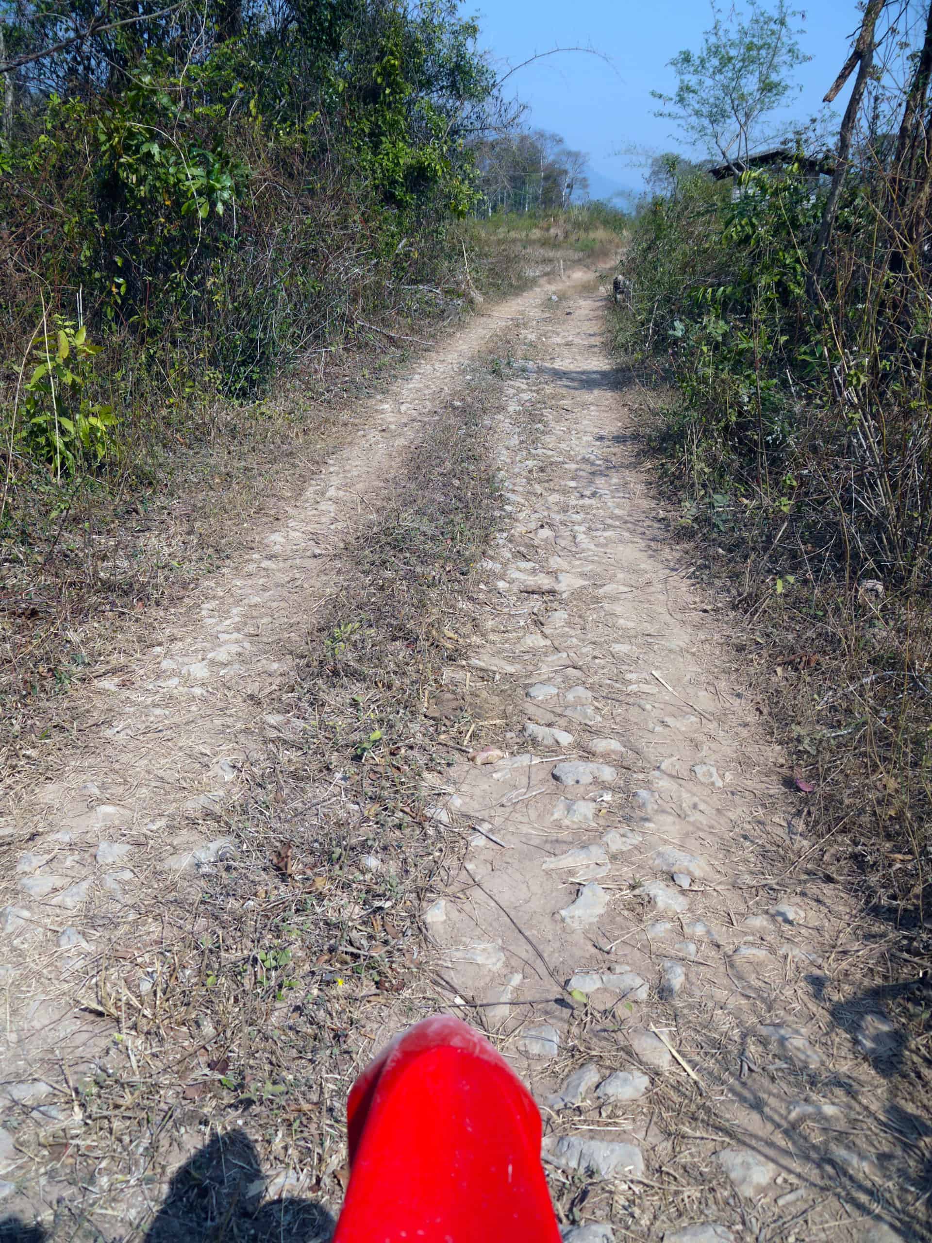
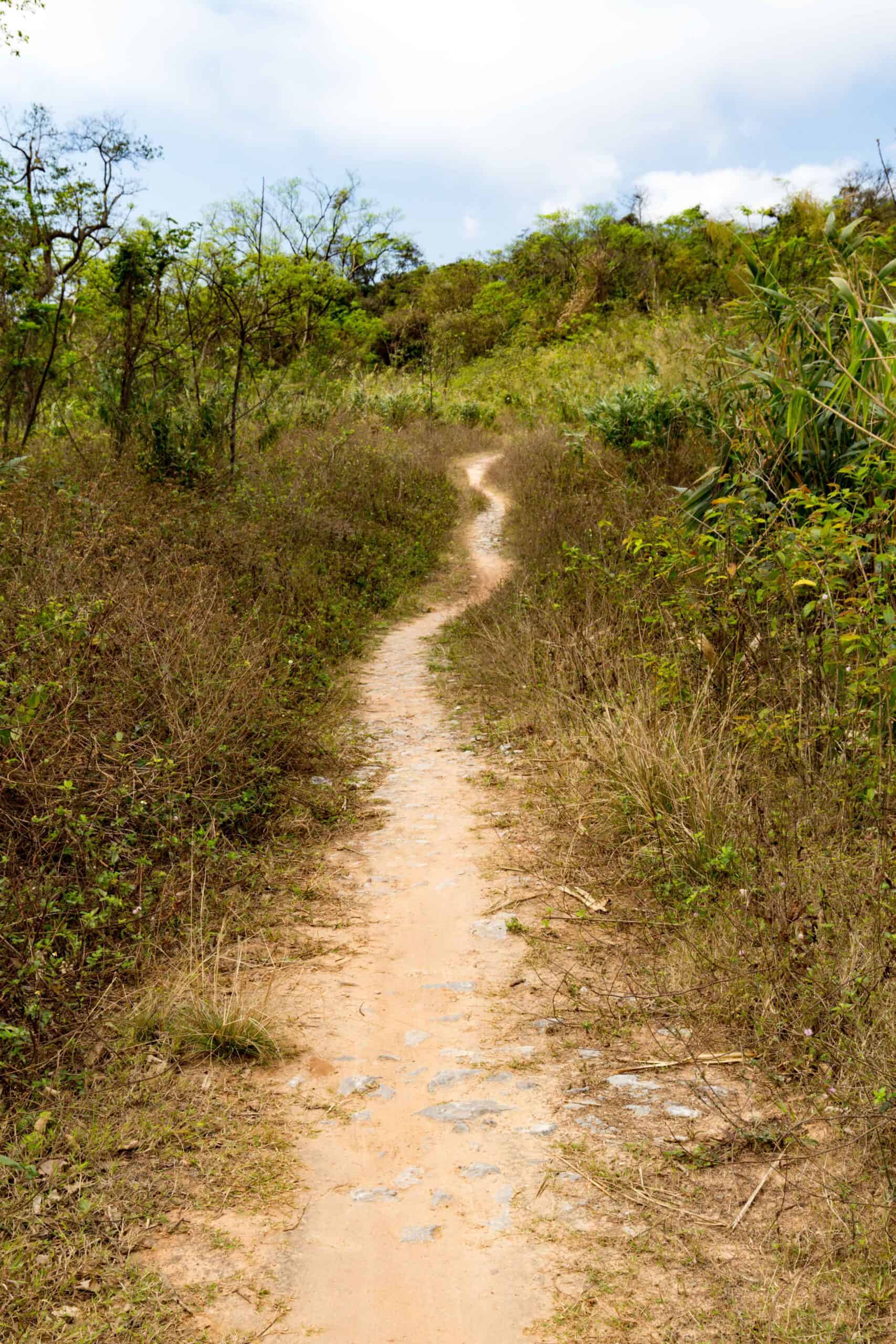
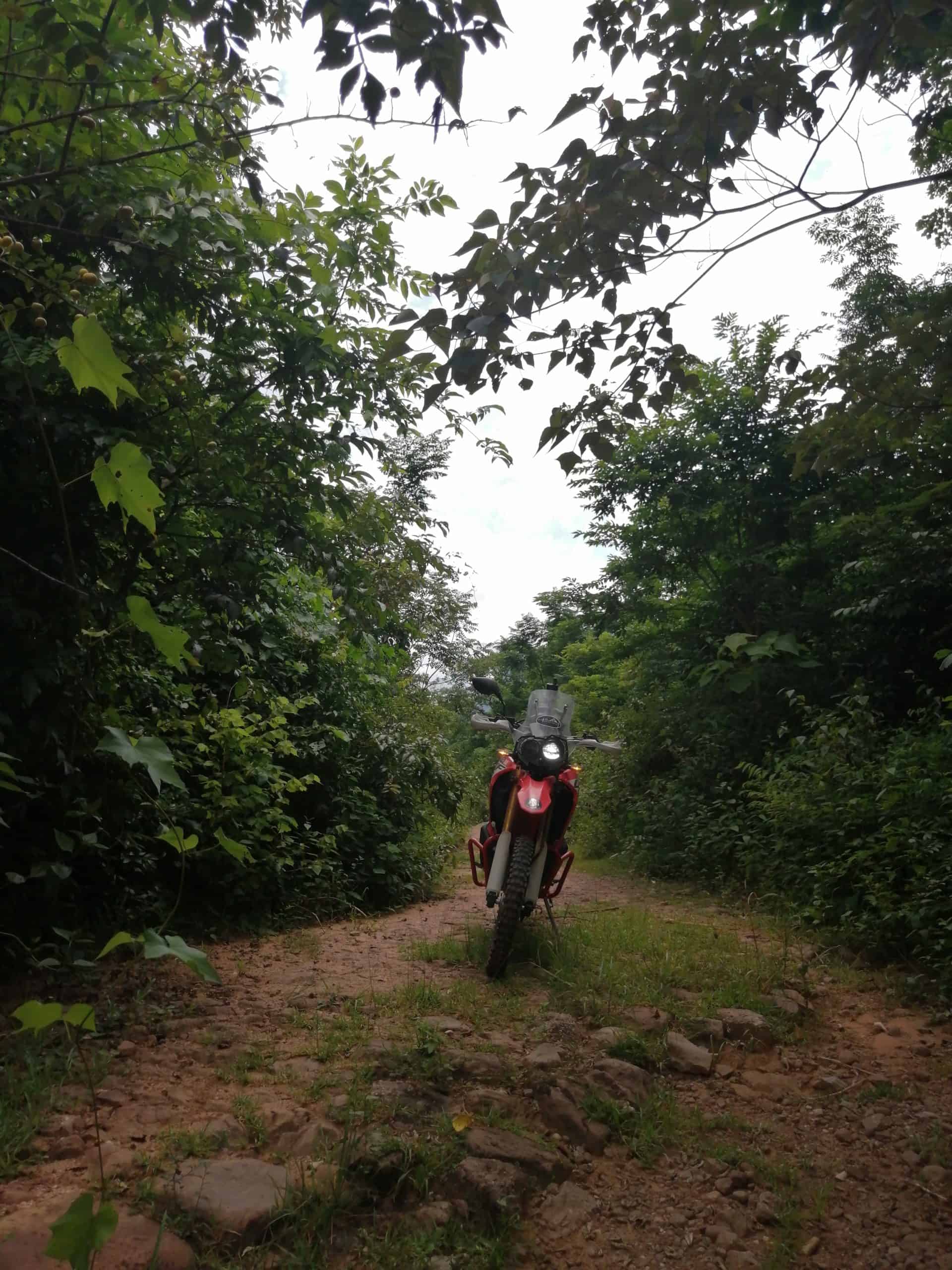
I left it alone until 2014. I was then back in the area doing some filming, during which I had a bit of spare time. Consequently, I decided to repay the area a visit, and so went to Ban Nongboua. Getting there I could immediately see things had changed. The Trail to Nongboua had been opened up! So I went looking, and ‘lo and behold’, the old trail was passable. All the way to the border post!
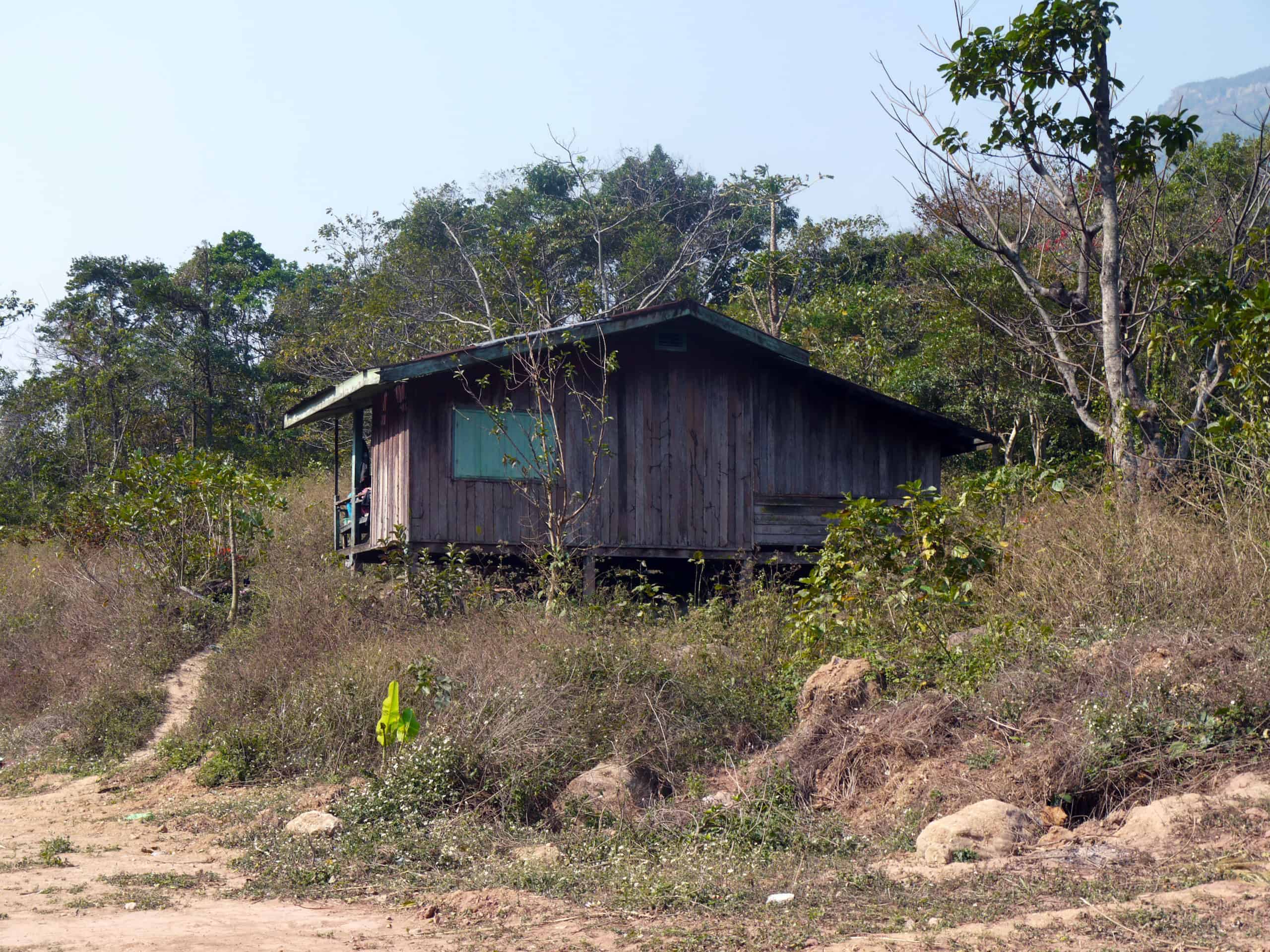
This was the first time I had physically seen the area, my only previous view being the Clive A Hills pictures in the book ‘The Road to Freedom’ by Virginia Morris. When reaching the Border Post, I saw the Trail to the top was now open, although much smaller than its original width. The locals told me they would make a one way up, one way down traffic system for the Pass, it never happened.
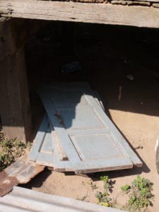
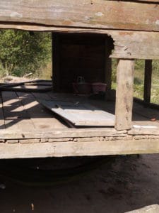
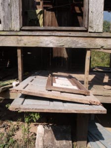
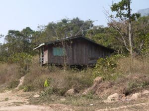
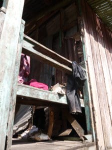
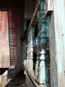
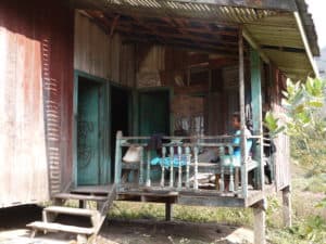
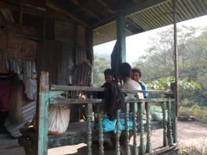
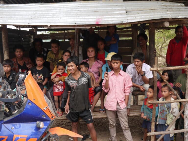
So as the years passed I repeatedly returned. Apart from a family moving into the house in 2018, nothing else really happened. The elderly gentleman resident there seemed happy enough, and had cleared a little of the area. That clearance allowed me to walk around and view the building. From what I saw, it seemed it had a big family in residence. That was a guess, as I never knew how many residents it actually had.
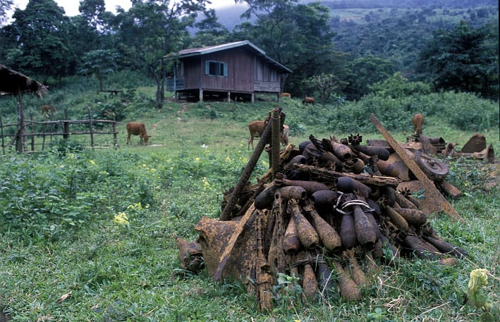
The Border House back in late 90’s. Picture credit; Clive A Hills
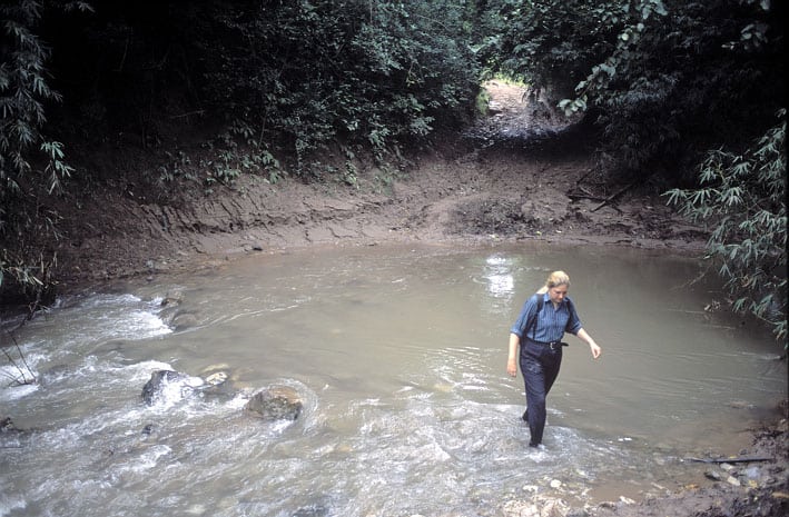
When Virginia Morris went there in the late 90’s, it was a very dangerous area. Cross border smuggling and poaching were rife, and it was not a safe place to be. You can read about Virginia’s first hand experiences in her book we’ve already mentioned, ‘The Road to Freedom’.
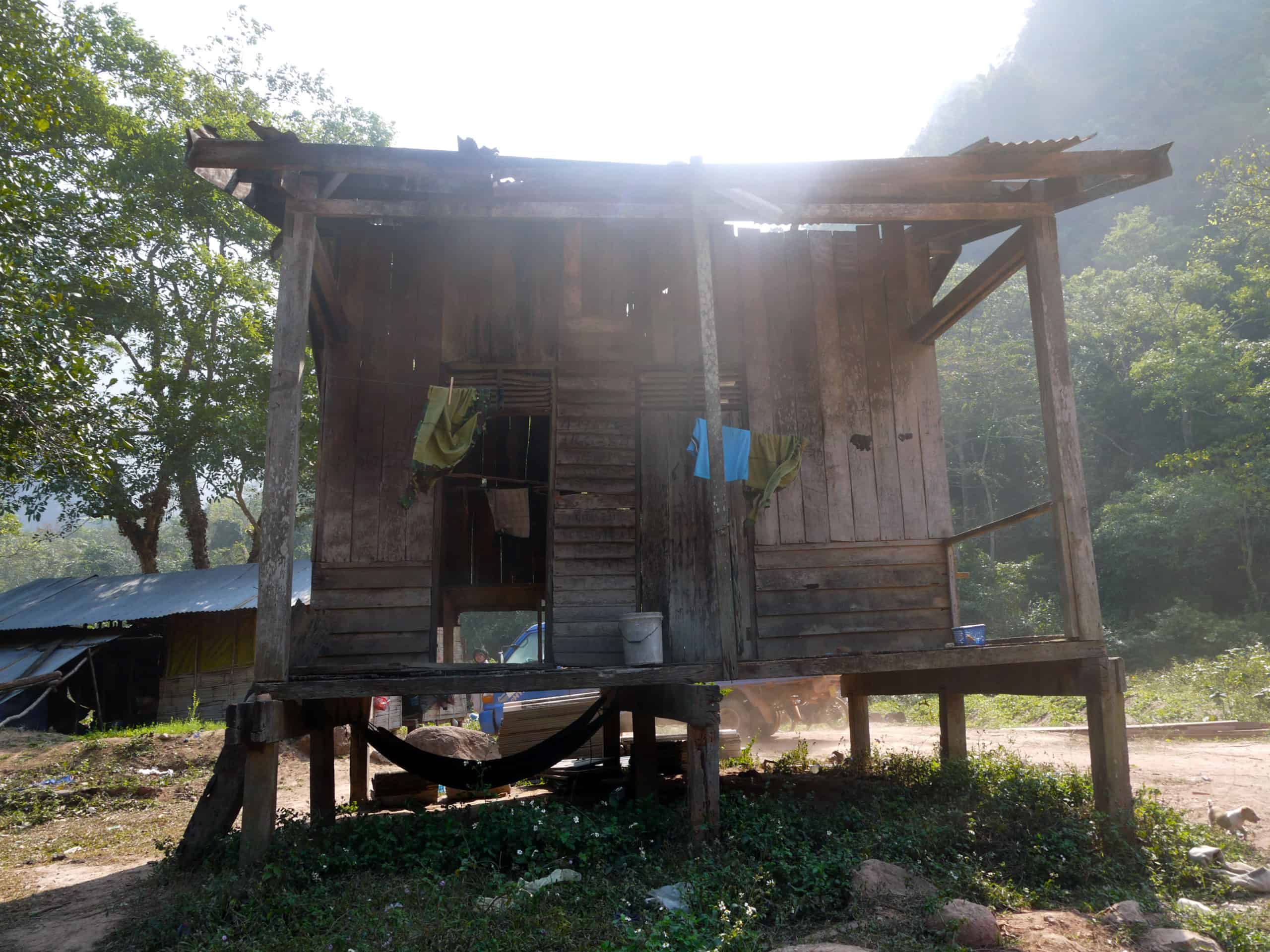
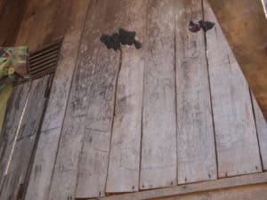
The building’s architecture suggested it was built by the French. As to when it was built, and was it there during the Vietnam War, who knows? These facts I am still researching, although I think it was. A robust, very well built wooden structure, it’s amazing it didn’t suffer any bomb damage. Especially as the American Air Force bombed it heavily daily, in its attempt to stop the Trail being used. I’ve still research to do and something further may come to light, but many things in Laos remain hidden, so the truth may never be known!
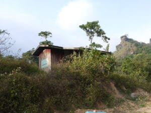
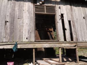
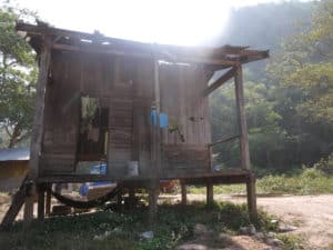
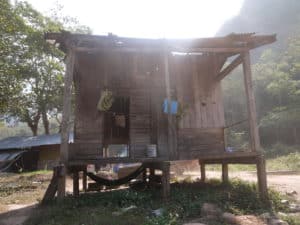
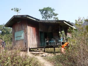
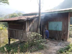

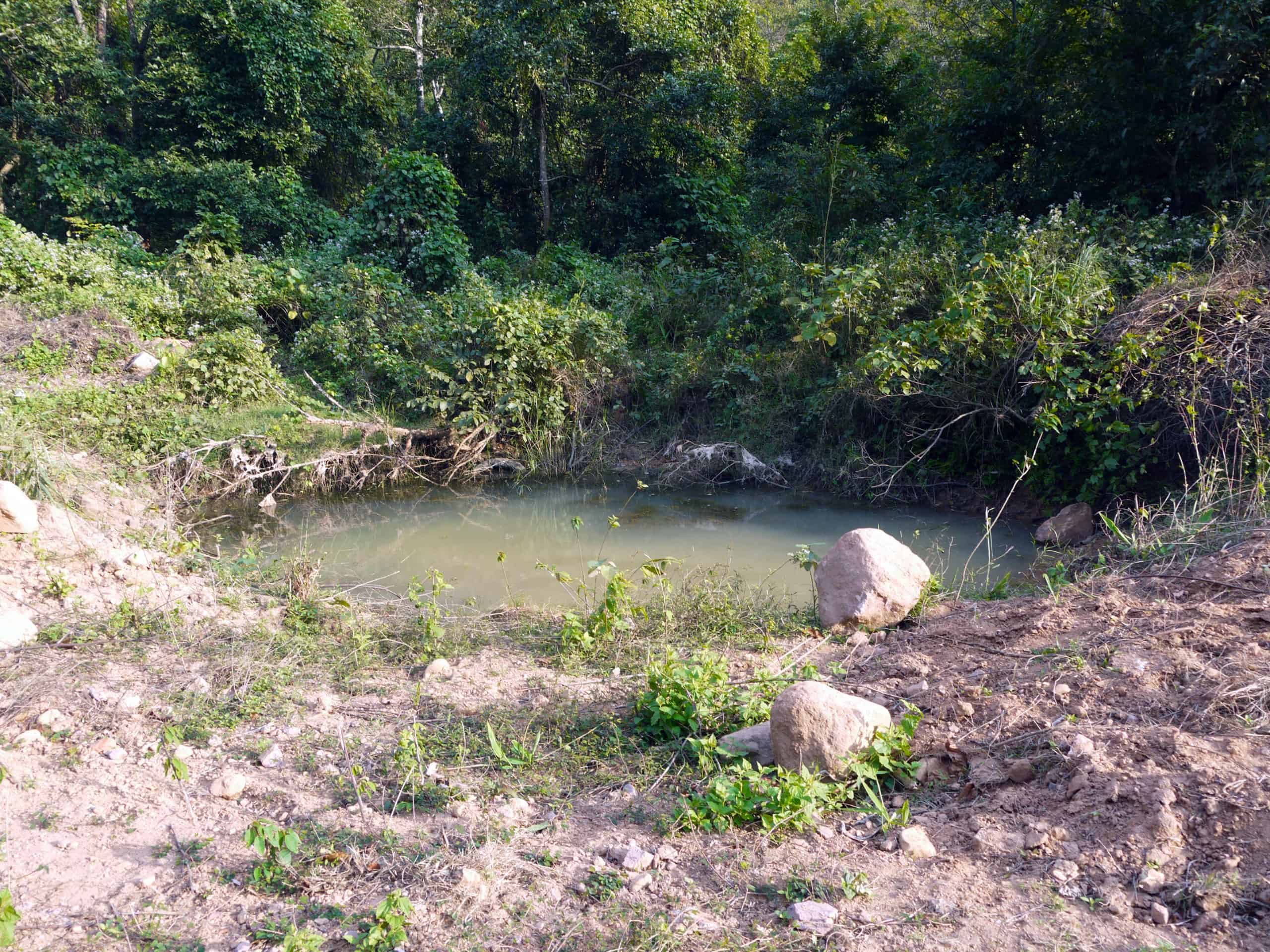
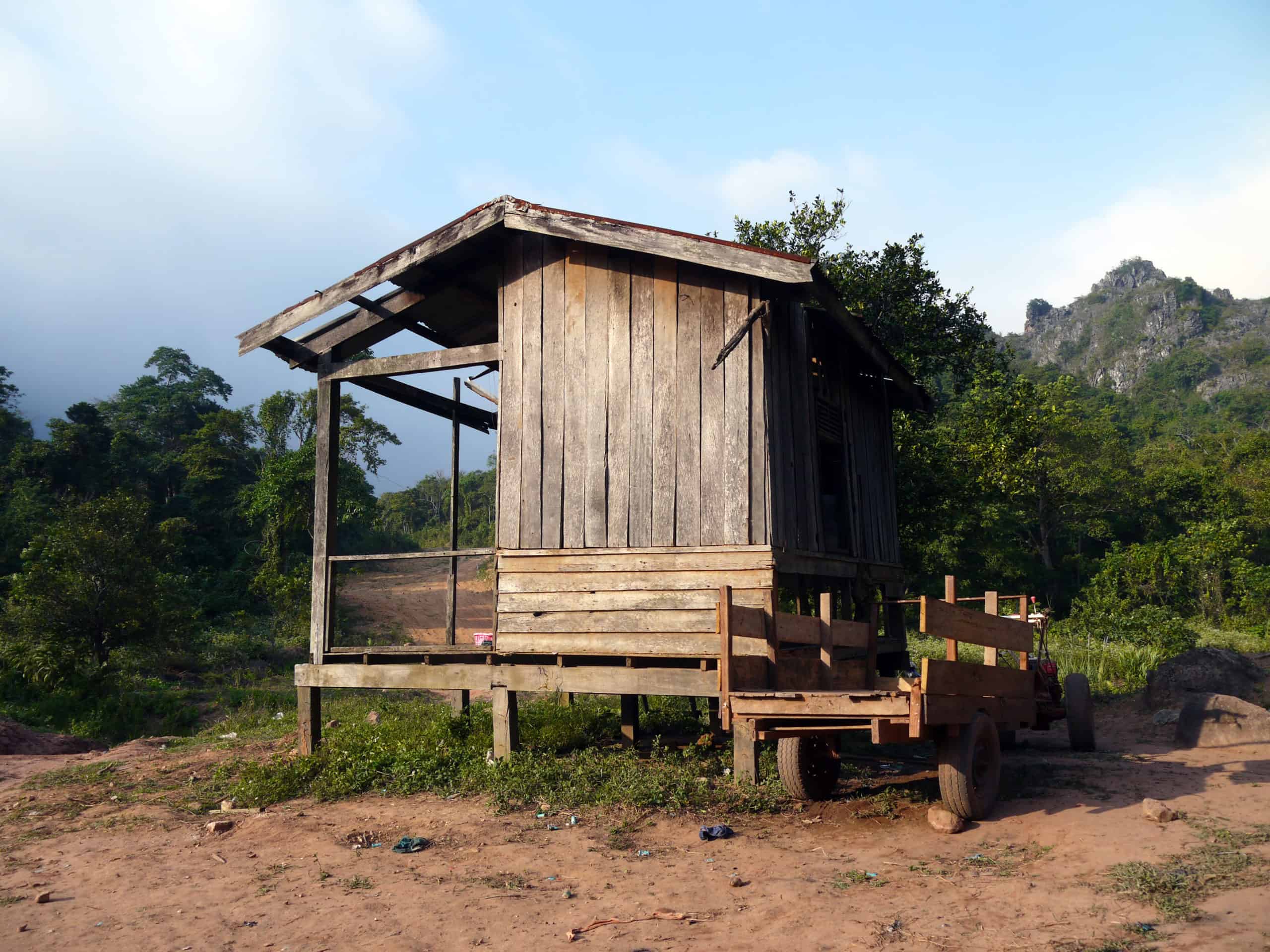
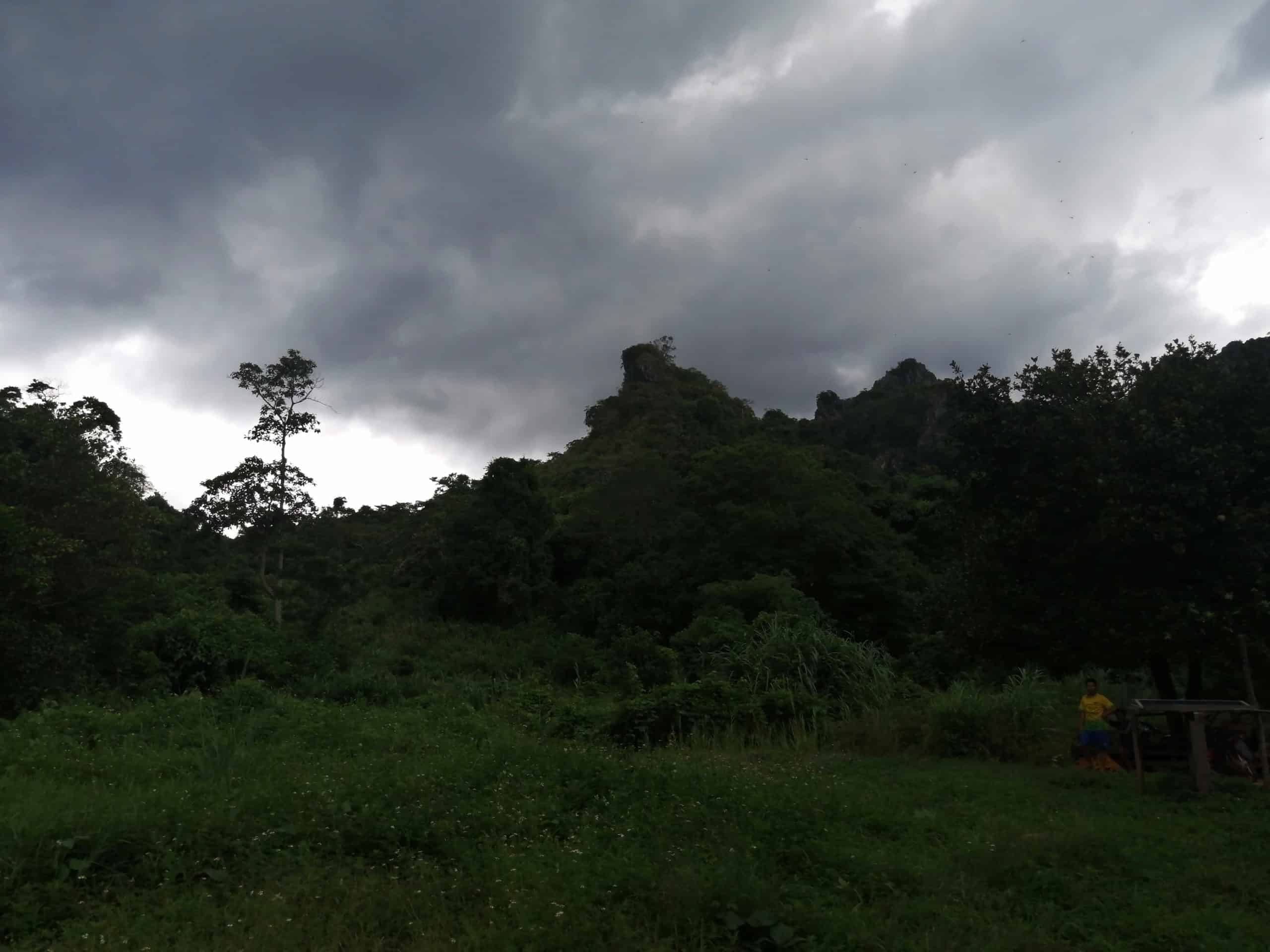
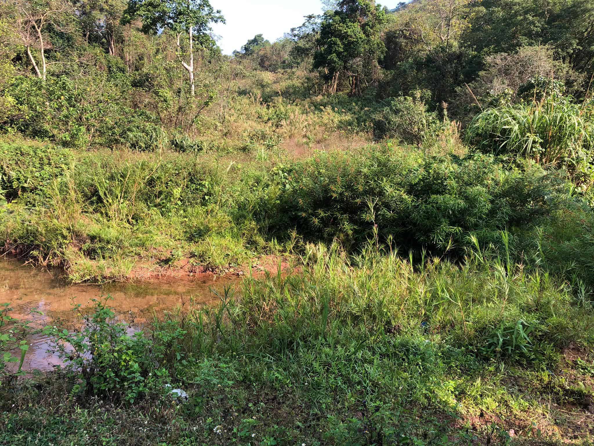
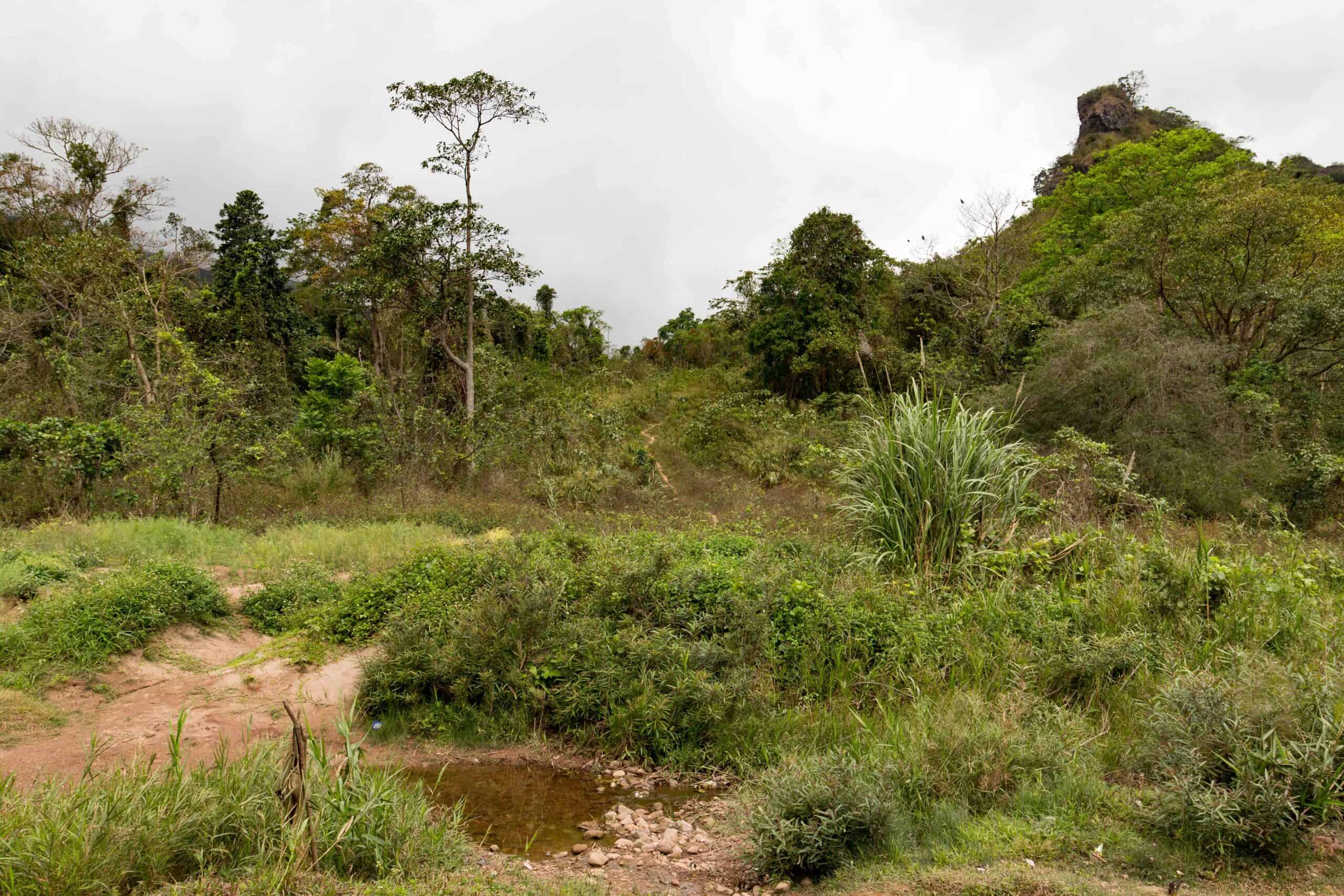
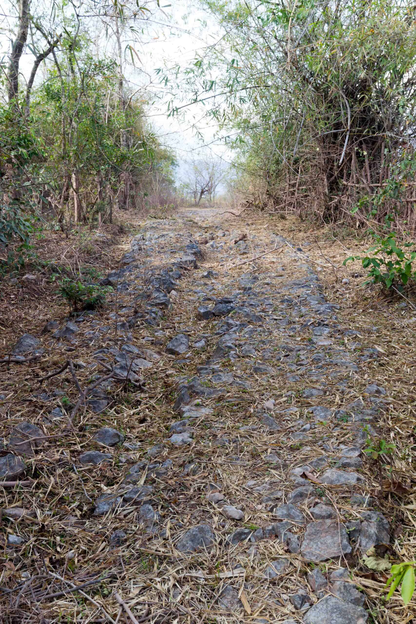
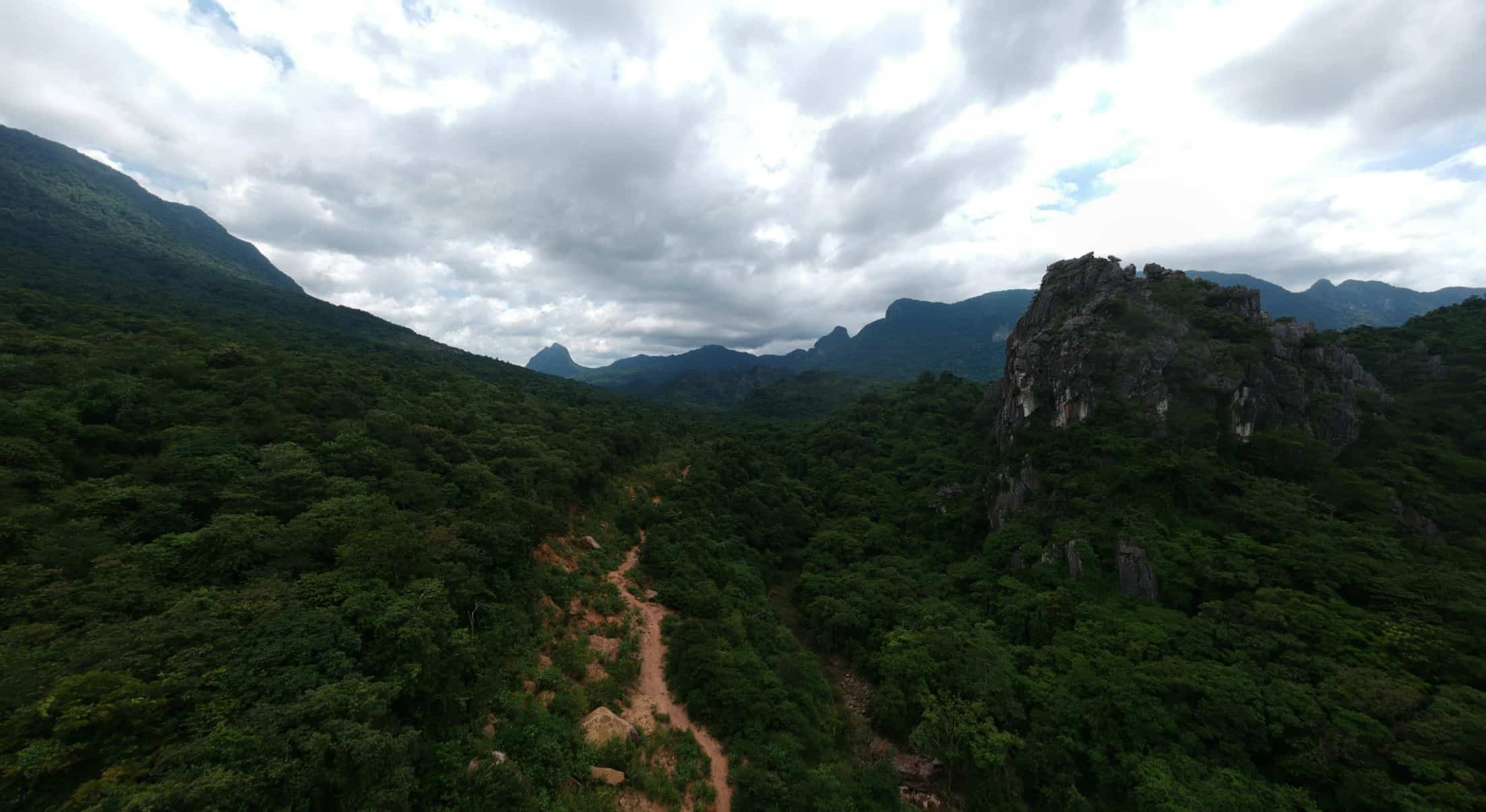
The border house will now soon be lost to the jungle, and in another month could well be gone. The Trail ascending the Mu Gia pass is overgrown, and now no more. Additionally, the small stream has been dug much deeper, as if to stop the Trail being used. The Army has built a new building, but the old Passport Building is gone, with a satellite dish sitting on one of its uprights. It seems this section of the historic Ho Chi Minh Trail is closed.
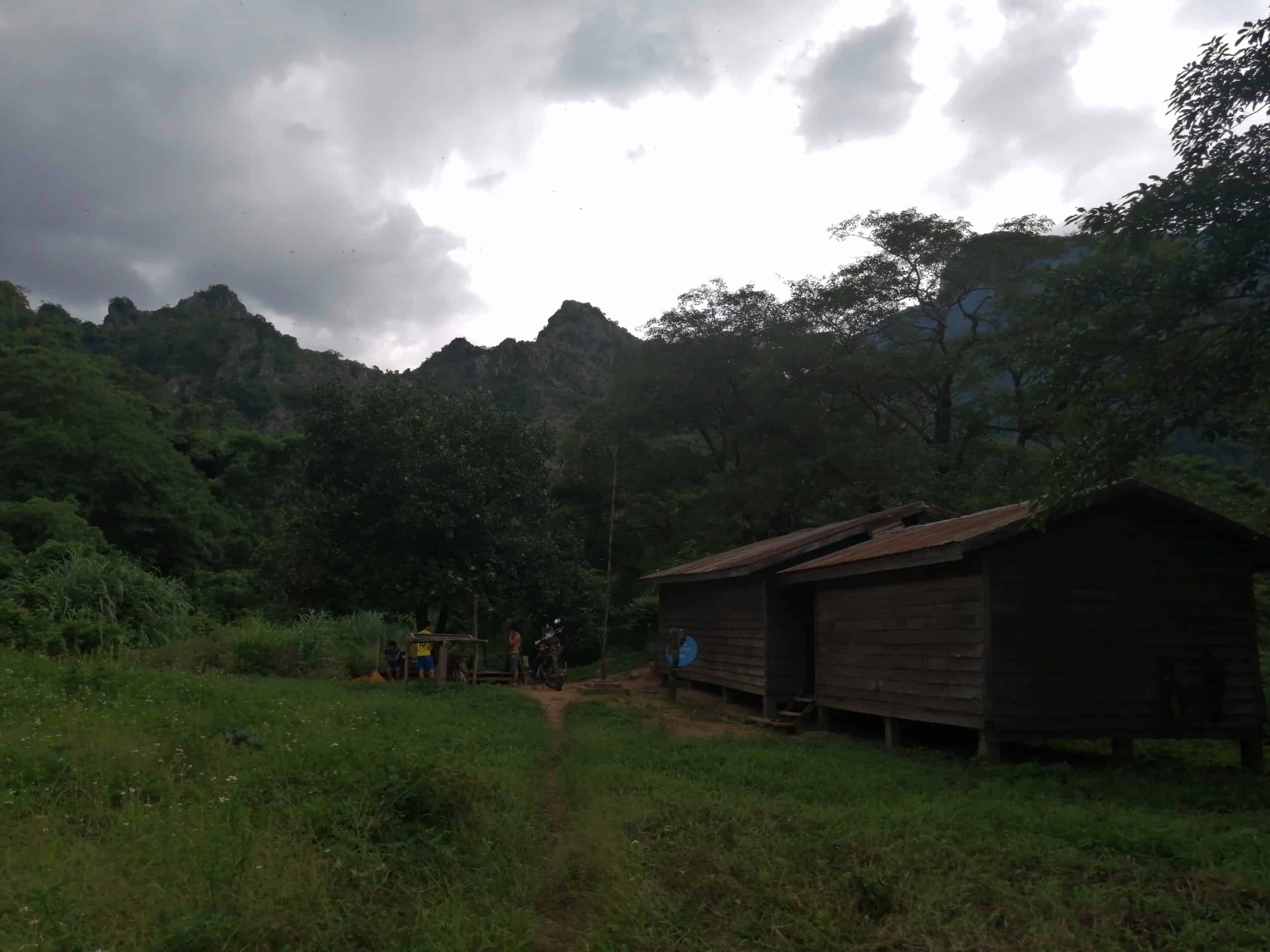
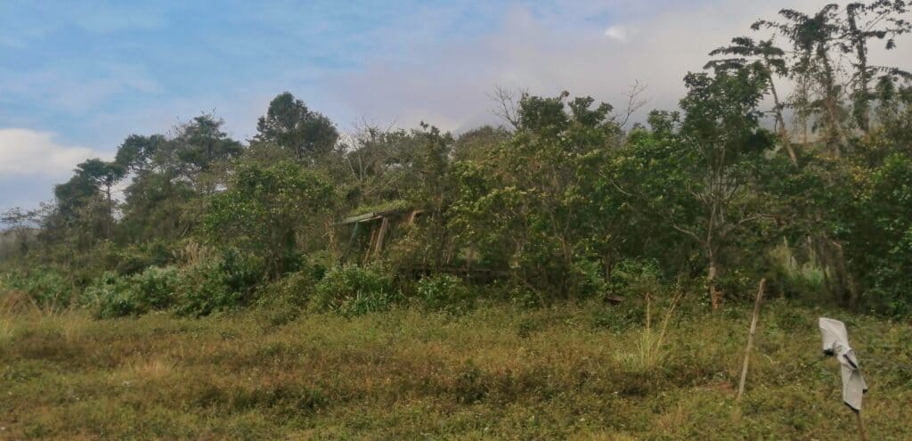
The Trail to the old site is kept open by the Army. It is single-track half the way, and gets very overgrown in the wet season.
The Army themselves are pretty friendly. If you want to go take a look, it’s great place to start your tour of the Trail. The research still goes on to find out some dates.
Check out our Trail tours https://thehochiminhtrail.com/the-road-to-freedom-tour/

Thank you for sharing. These pictures mean a lot to me. My grandfather was shot down and killed in an F4 Phantom near the Mu Gia pass on 03/21/1968; his remains were never found. I hope to visit someday soon.
Many thanks for commenting…what was his name?