Tales From The Ho Chi Minh Trail – Choke Points, Ban Laboy Ford
Ban Laboy Ford
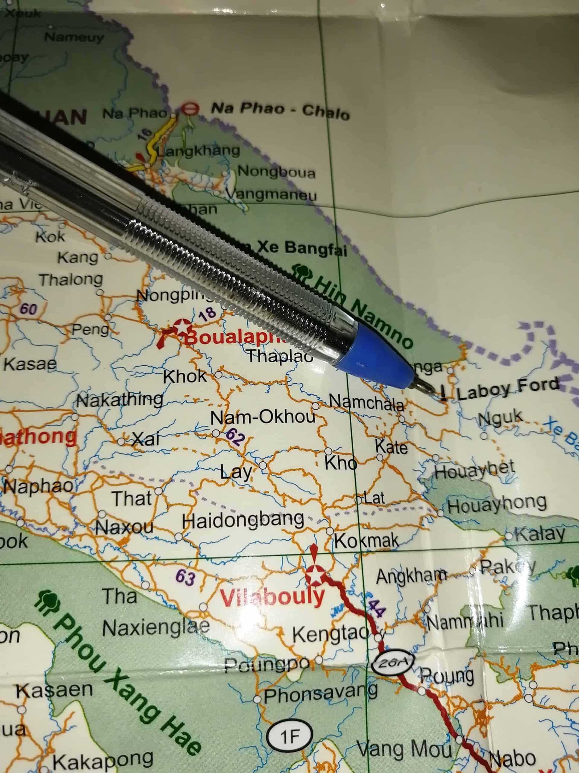
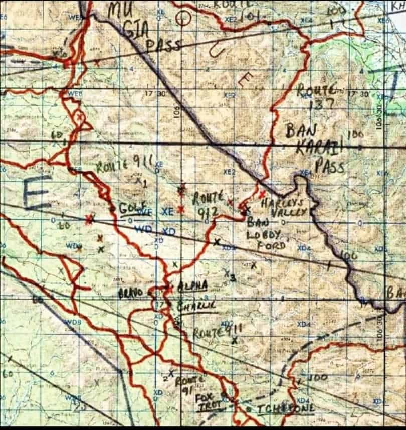
Location; Savannakhet N17.20580° E 106.14743°
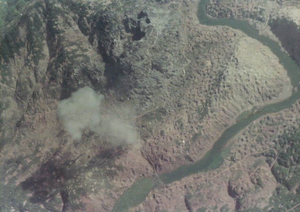
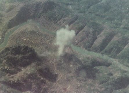
Ban Laboy Ford was a key crossing into Laos from Vietnam and one of the most important choke points. It joined a labyrinth of trails for the Vietnamese to disappear into. It holds the record of being the most bombed place on the planet.
What is a ‘choke point’?
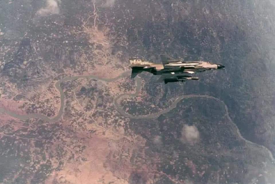
Choke points are basically intersections of roads, where they meet or cross. Hence, they were targets for the Bombers above, the thinking was that it would cause blockages and disruption to the convoys. This was true. Bombing campaigns did cause disruption, death, and loss of equipment going south. However, the Vietnamese were prepared for this. In Laos, the Ban Laboy Ford choke point is one of the most important examples on the Ho Chi Minh Trail.
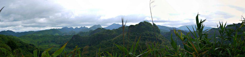
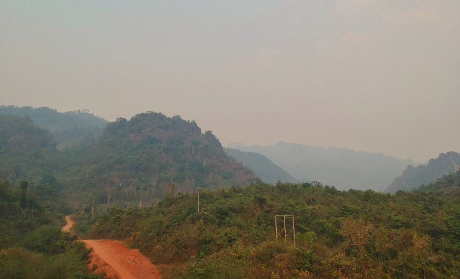
The Ho Chi Minh Trail was a network of trails throughout southern Laos below the DMZ (De-militarized Zone) on the 17th Parallel. Men and munitions would infiltrate Laos in many locations down the length of their shared borders through the Annamite mountain ranges.
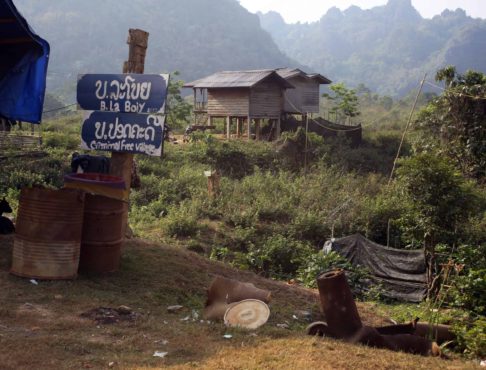
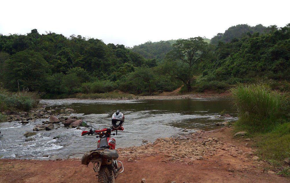
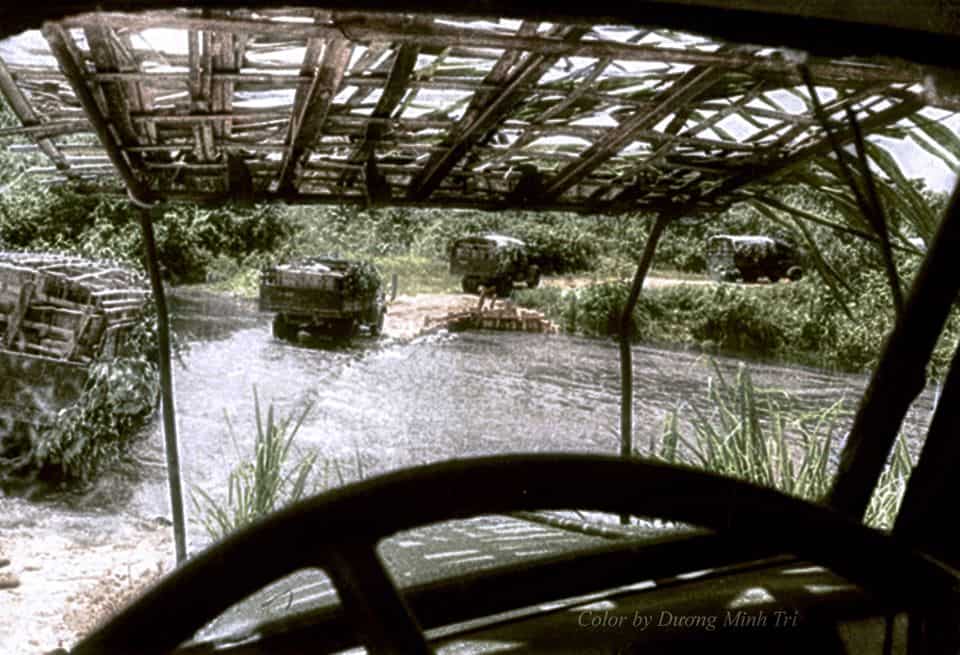
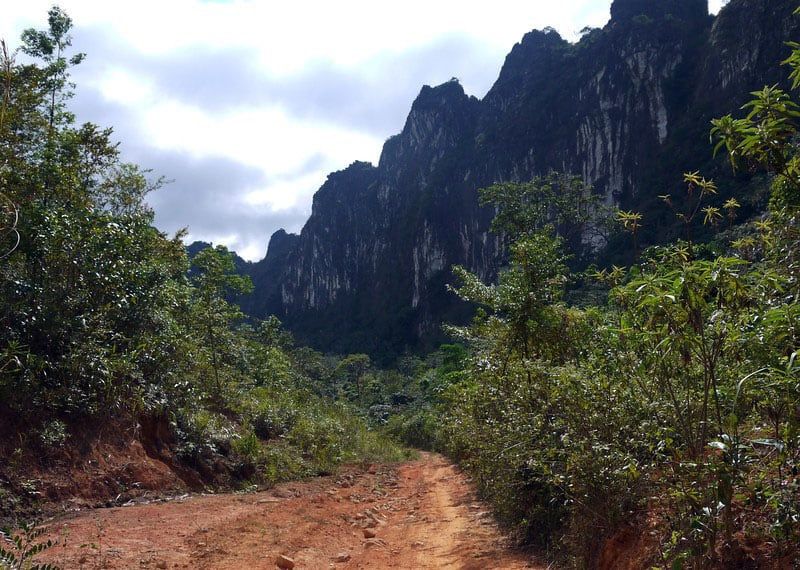
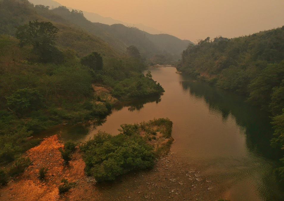
One of the most famous and well used river crossings was Ban Laboy Ford. It was very close to the village of Ban Laboy so the ford across the Xe Bangfai River took its name. Trucks would come in over the Ban Kari Pass into Laos, through small villages en route to Ban Laboy. Many of these villages are still cobbled in places. Luckily, large sections survive intact. The trucks would then traverse the ford and head over the Phu La Niche Pass into Khammouane Province. Once over the pass, the network would break up into different trails. Shortly after, they would be in Savannaket Province.
History of the Ban Laboy Ford Choke Point
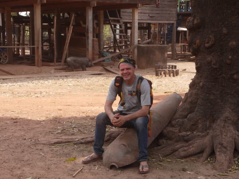
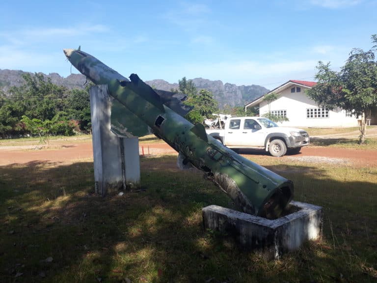
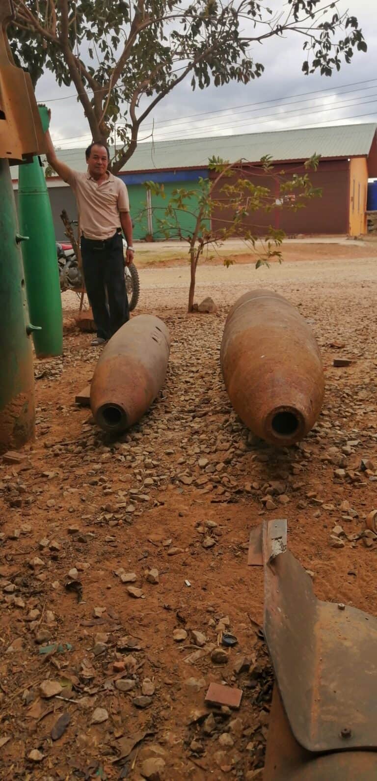
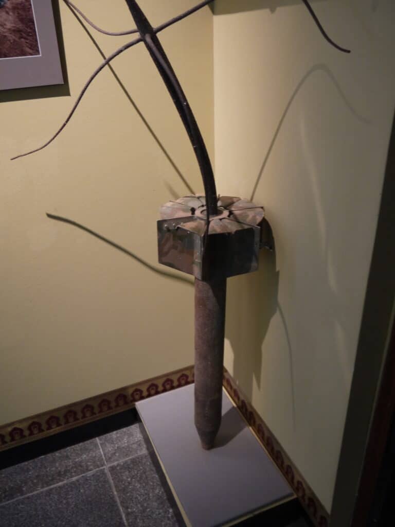
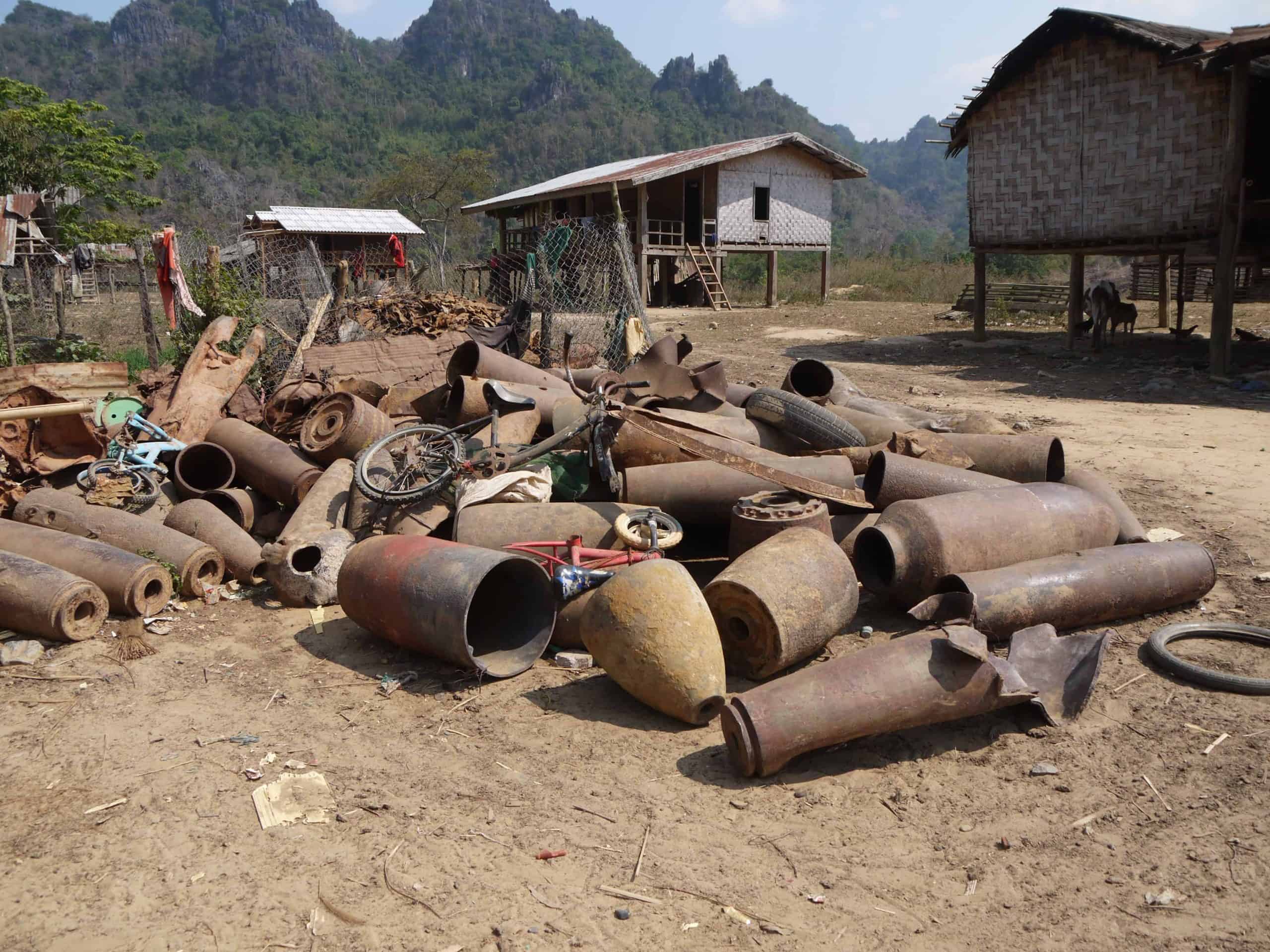
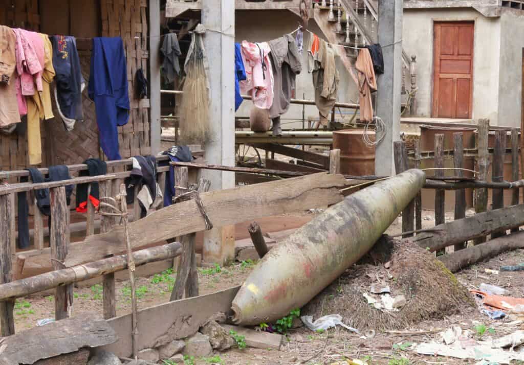
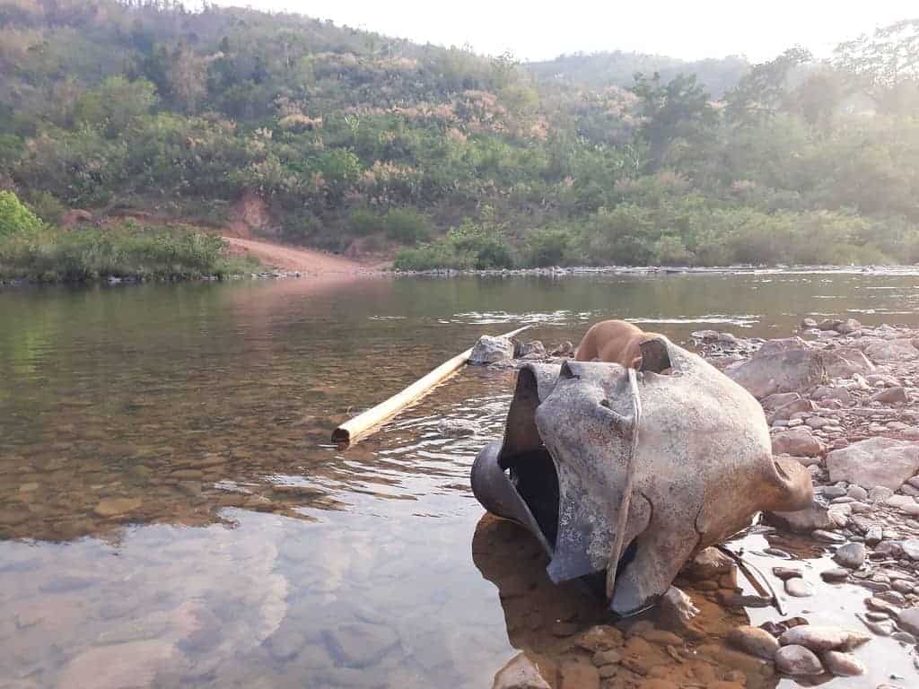
Ban Laboy Ford holds the record of being the most bombed place on earth per capita. It got hammered with bombs which are still laying around today. When the ford got damaged, they had a secondary ford further upstream, which had an underwater bridge. That also became a target. At one point, the US were considering damming the river downstream by blowing up mountains and flooding the whole area. Thankfully, it never happened.
Bombers disrupting the flow over the mountains into Laos would be significant, but the Vietnamese cared little about losing men or machine. “Send another” was the attitude. Whatever got thrown at Ban Laboy Ford would cause a choke point, but it would soon be operational again. The Americans had one arm tied behind their backs at the best of times. I think they had both hands tied, due to the political situation, which caused many unfortunate deaths amongst the pilots and crew.
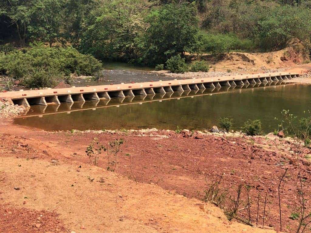
The choke point today
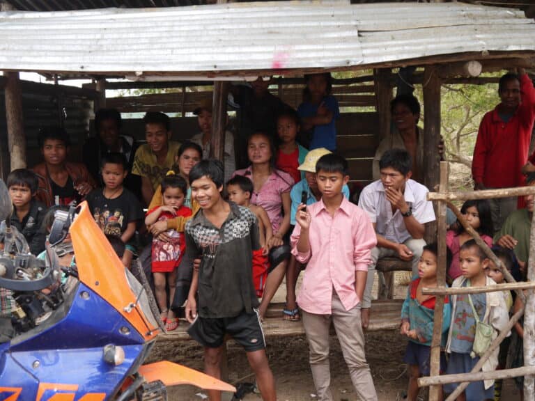
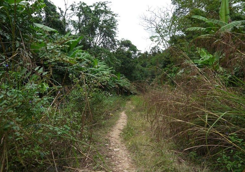
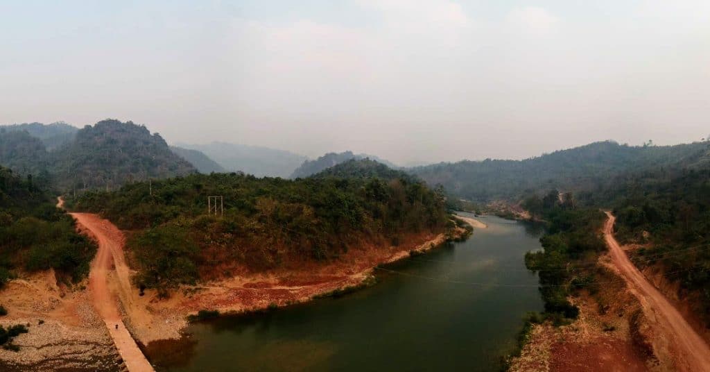
The area is one of beauty. Now the river has a bridge and the ford is no longer used. The memories of these choke points along the Ho Chi Minh Trail in Laos are recorded forever. In 2019, there was a bridge erected. The area holds many secrets and is an interesting place. Further, it’s an extremely important part of the trails’ history. Local attitudes have shifted and local people are much friendlier than in the past.
More to come as we find it.
Enjoy this post? Find the rest of our Ho Chi Minh Trail Tales here. Interested in riding in Laos, but looking for more adventure in different parts of Laos? Check out our Laos ADV Tours page.