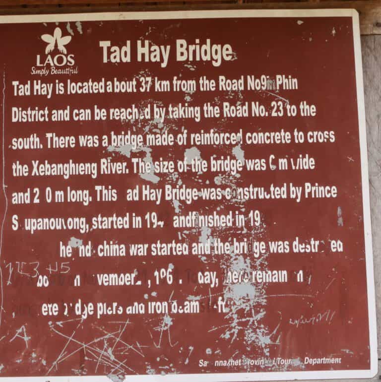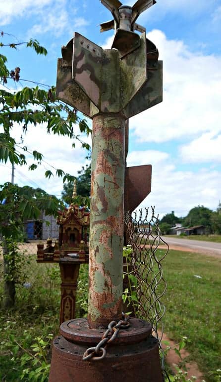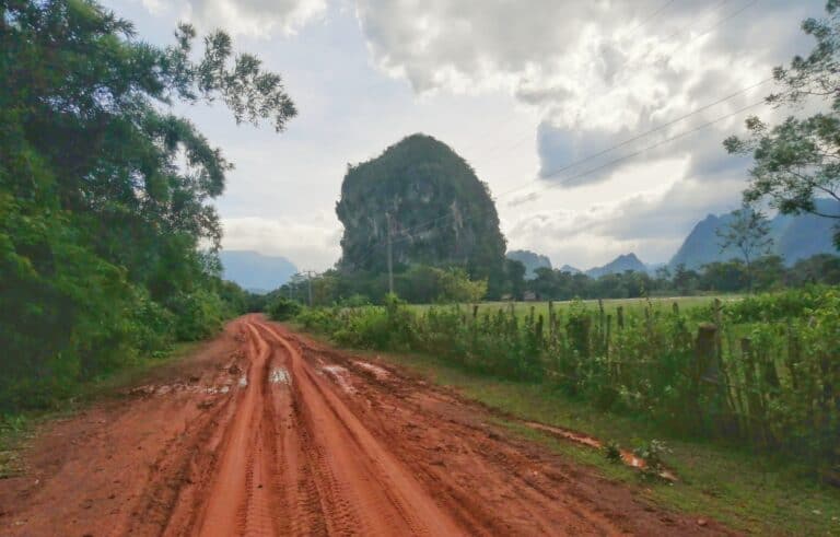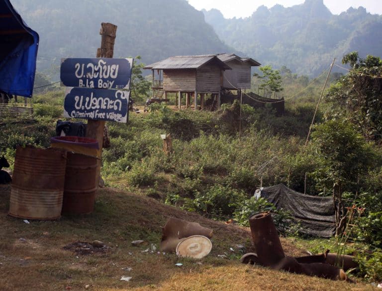
Tales From The Ho Chi Minh Trail-2022 Trail Ride
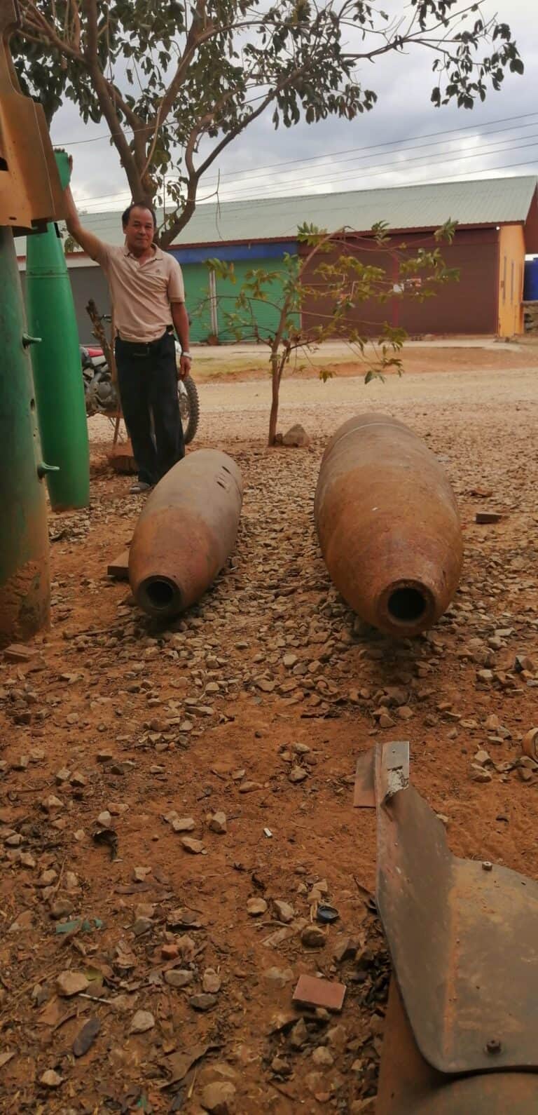
After 8 months of being Locked down or having travel bans in place, I finally got the chance to go for a ride. The plan was to go as far down the trail as Saravan. I set of the day before New Year’s Eve and made it to Nam Ngum lakes for the 1st…