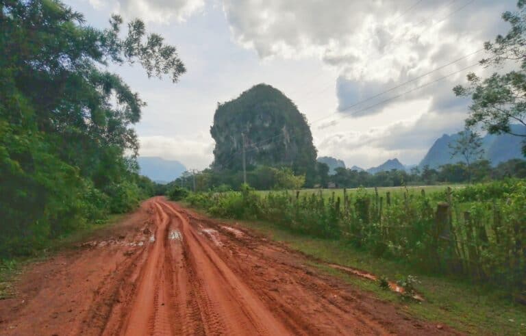
Tales From The Ho Chi Minh Trail-Disappearing Trails-Route 23
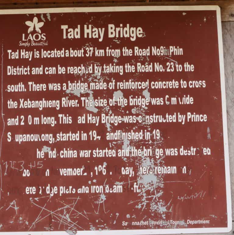
Route 23: Savannakhet Tad Hay Bridge. Location: N16° 16.760′ E105° 57.534′ The Red Princes Bridge. Over the Xe Bang Heing River, this bridge was built in 1942 and designed by Souphanouvong who became the first President of Lao PDR in 1975. It was destroyed by the American bombing in 1967. South West of…